Grivegnée
| |
|---|---|
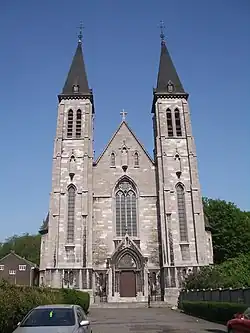 Saint-Lambert Church | |
 Location in Liège | |
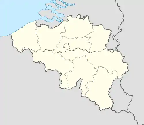 Grivegnée  Grivegnée | |
| Coordinates: 50°37′18″N 5°36′38″E / 50.62167°N 5.61056°E | |
| Country | |
| Region | |
| Community | |
| Province | |
| Arrondissement | Liège |
| Municipality | Liège |
| Area | |
| • Total | 4.75 km2 (1.83 sq mi) |
| Population (2020-01-01) | |
| • Total | 19,791 |
| • Density | 4,200/km2 (11,000/sq mi) |
| Postal codes | 4030 |
| Area codes | 04 |
Grivegnée (French pronunciation: [ɡʁivɲe]; Walloon: Grimgnêye) is a sub-municipality of the city of Liège located in the province of Liège, Wallonia, Belgium.[1] It was a separate municipality until 1977. On 1 January 1977, it was merged into Liège.
References
- ↑ Louis-Napoléon and Mademoiselle de Montijo. pp. 74–76.
Wikimedia Commons has media related to Grivegnée.
This article is issued from Wikipedia. The text is licensed under Creative Commons - Attribution - Sharealike. Additional terms may apply for the media files.