Gujraniwala | |
|---|---|
 Gujraniwala | |
| Coordinates: 30°34′N 71°17′E / 30.57°N 71.29°E | |
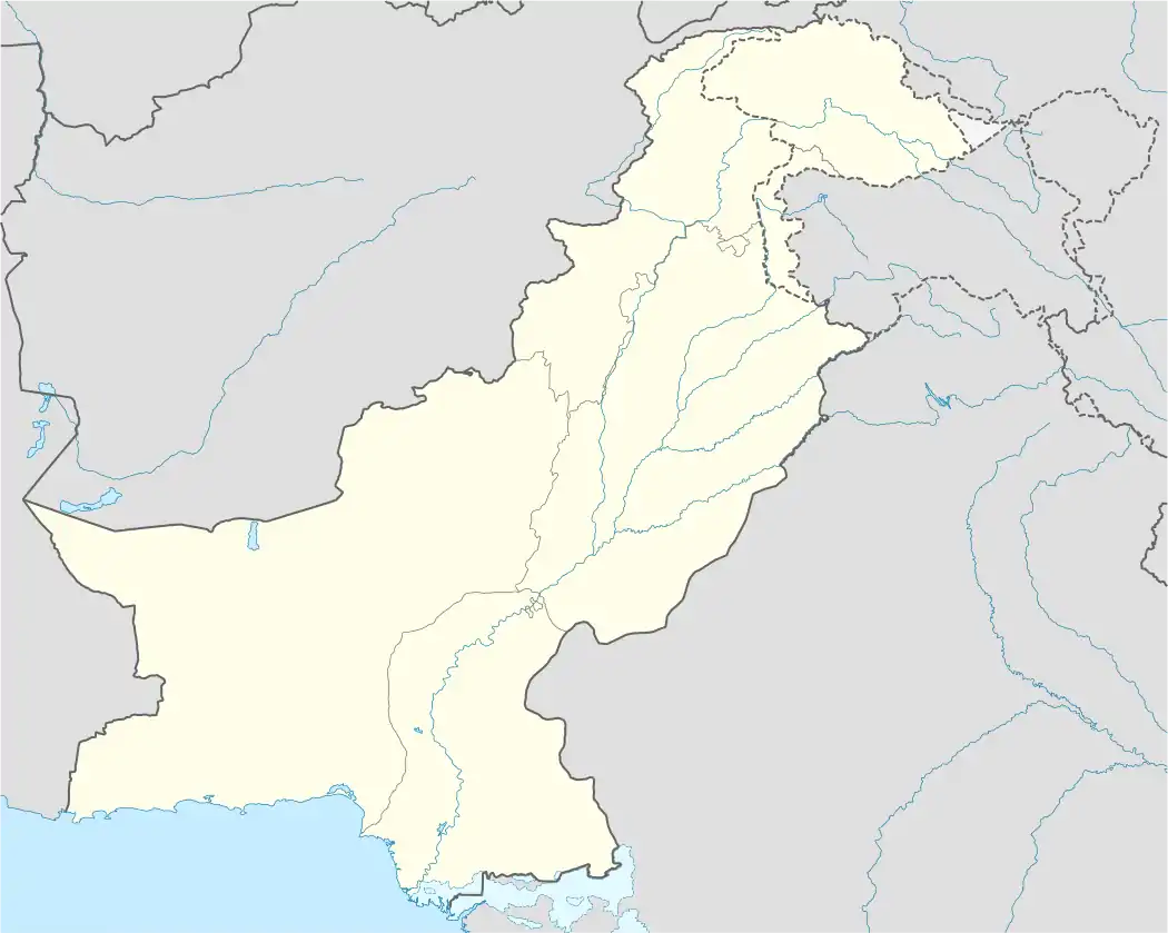
| Country | |
| Province | Punjab |
| Elevation | 128 m (420 ft) |
| Time zone | UTC+5 (PST) |
Gujraniwala is a village of Jhang District in the Punjab of Pakistan. It is located at 30°57'0N 71°29'50E with an altitude of 128 metres (423 feet). [1]
References
30°57′0″N 71°29′50″E / 30.95000°N 71.49722°E
Neighbourhoods of Jhang | ||
|---|---|---|
Administration: Jhang District | ||
| Tehsils |  | |
| Cities |
| |
| Towns & councils | ||
| Localities | ||
This article is issued from Wikipedia. The text is licensed under Creative Commons - Attribution - Sharealike. Additional terms may apply for the media files.