Gundersdorf | |
|---|---|
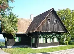 A house in the Schilcher-Weinstraße in Gundersdorf | |
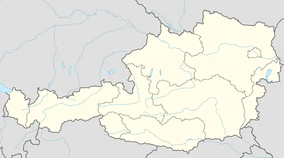 Gundersdorf Location within Austria | |
| Coordinates: 46°56′52″N 15°14′02″E / 46.94778°N 15.23389°E | |
| Country | Austria |
| State | Styria |
| District | Deutschlandsberg |
| Government | |
| • Mayor | Walter Wölkart (ÖVP) |
| Area | |
| • Total | 5.69 km2 (2.20 sq mi) |
| Elevation | 492 m (1,614 ft) |
| Population (1 January 2016)[1] | |
| • Total | 406 |
| • Density | 71/km2 (180/sq mi) |
| Time zone | UTC+1 (CET) |
| • Summer (DST) | UTC+2 (CEST) |
| Postal code | 8511 |
| Area code | 3463 |
| Vehicle registration | DL |
| Website | www.gundersdorf.at |
Gundersdorf is a former municipality in the district of Deutschlandsberg in the Austrian state of Styria. Since the 2015 Styria municipal structural reform, it is part of the municipality Sankt Stefan ob Stainz.[2]
Population
| Year | Pop. | ±% |
|---|---|---|
| 1869 | 446 | — |
| 1880 | 445 | −0.2% |
| 1890 | 442 | −0.7% |
| 1900 | 434 | −1.8% |
| 1910 | 459 | +5.8% |
| 1923 | 426 | −7.2% |
| 1934 | 483 | +13.4% |
| 1939 | 482 | −0.2% |
| 1951 | 447 | −7.3% |
| 1961 | 430 | −3.8% |
| 1971 | 444 | +3.3% |
| 1981 | 406 | −8.6% |
| 1991 | 404 | −0.5% |
| 2001 | 387 | −4.2% |
| 2011 | 416 | +7.5% |
References
This article is issued from Wikipedia. The text is licensed under Creative Commons - Attribution - Sharealike. Additional terms may apply for the media files.