Habay
| |
|---|---|
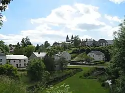 Habay-la-Neuve | |
 Flag .svg.png.webp) Coat of arms | |
Location of Habay | |
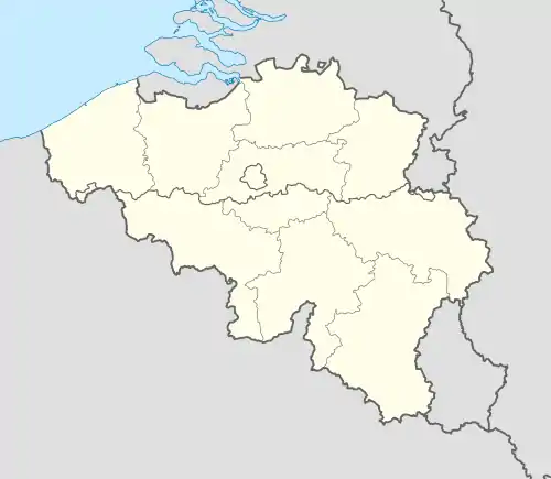 Habay Location in Belgium
Location of Habay in Luxembourg province 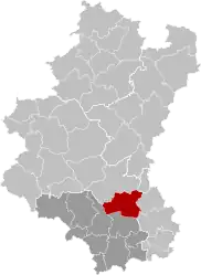 | |
| Coordinates: 49°44′N 05°37′E / 49.733°N 5.617°E | |
| Country | |
| Community | French Community |
| Region | Wallonia |
| Province | Luxembourg |
| Arrondissement | Virton |
| Government | |
| • Mayor | Serge Bodeux (MR, Pour Habay) |
| • Governing party/ies | Pour Habay |
| Area | |
| • Total | 103.52 km2 (39.97 sq mi) |
| Population (2018-01-01)[1] | |
| • Total | 8,387 |
| • Density | 81/km2 (210/sq mi) |
| Postal codes | 6720, 6721, 6723, 6724 |
| NIS code | 85046 |
| Area codes | 063 |
| Website | (in French) www.habay.be |
Habay (French pronunciation: [abɛ]; Walloon: Habâ) is a municipality of Wallonia located in the province of Luxembourg, Belgium.
On 1 January 2007 the municipality, which covers 103.64 km2, had 7,903 inhabitants, giving a population density of 76.3 inhabitants per km2.
The municipality consists of the following districts: Anlier, Habay-la-Neuve (seat of municipal council), Habay-la-Vieille, Hachy, Houdemont, and Rulles. Other population centers include: Harinsart, Marbehan, Nantimont, and Orsainfaing.
See also
References
- ↑ "Wettelijke Bevolking per gemeente op 1 januari 2018". Statbel. Retrieved 9 March 2019.
External links
 Media related to Habay at Wikimedia Commons
Municipalities of the province of Luxembourg, Wallonia | ||
|---|---|---|
| Arlon | 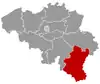 | |
| Bastogne | ||
| Marche-en-Famenne | ||
| Neufchâteau | ||
| Virton | ||
Bold indicates cities | ||
This article is issued from Wikipedia. The text is licensed under Creative Commons - Attribution - Sharealike. Additional terms may apply for the media files.