Hernstein | |
|---|---|
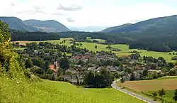 View of Hernstein | |
 Coat of arms | |
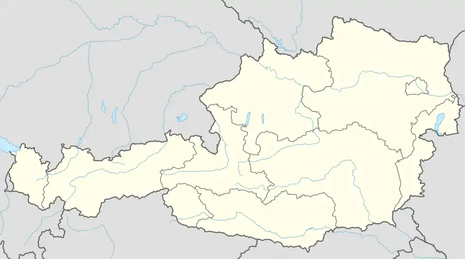 Hernstein Location within Austria | |
| Coordinates: 47°53′N 16°6′E / 47.883°N 16.100°E | |
| Country | Austria |
| State | Lower Austria |
| District | Baden |
| Government | |
| • Mayor | Leopold Nebel |
| Area | |
| • Total | 46.6051 km2 (17.9943 sq mi) |
| Elevation | 438 m (1,437 ft) |
| Population (2018-01-01)[2] | |
| • Total | 1,542 |
| • Density | 33/km2 (86/sq mi) |
| Time zone | UTC+1 (CET) |
| • Summer (DST) | UTC+2 (CEST) |
| Postal code | 2560 |
| Area code | 02633, 02672 |
| Website | www.hernstein.gv.at |
Hernstein is a town in Lower Austria, Austria in the district of Baden bei Wien.
Municipal divisions
The market municipality of Hernstein has seven Katastralgemeinden:
- Grillenberg
- Hernstein
- Alkersdorf (district)
- Aigen (district)
- Kleinfeld
- Neusiedl bei Grillenberg
- Pöllau
- Steinhof
- Veitsau
(In contrast the districts of Steinhof und Veitsau are almost in the neighboring community of Berndorf)
Population
| Year | Pop. | ±% |
|---|---|---|
| 1971 | 1,097 | — |
| 1981 | 1,191 | +8.6% |
| 1991 | 1,305 | +9.6% |
| 2001 | 1,421 | +8.9% |
| 2011 | 1,508 | +6.1% |
References
- ↑ Error: Unable to display the reference properly. See the documentation for details.
- ↑ "Einwohnerzahl 1.1.2018 nach Gemeinden mit Status, Gebietsstand 1.1.2018". Statistics Austria. Retrieved 9 March 2019.
External links
This article is issued from Wikipedia. The text is licensed under Creative Commons - Attribution - Sharealike. Additional terms may apply for the media files.