Hrubá Vrbka | |
|---|---|
.jpg.webp) Common with a belfry | |
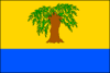 Flag 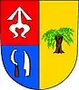 Coat of arms | |
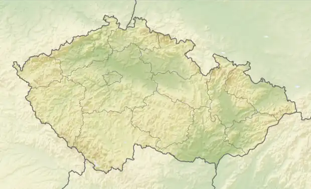 Hrubá Vrbka Location in the Czech Republic | |
| Coordinates: 48°52′19″N 17°28′37″E / 48.87194°N 17.47694°E | |
| Country | |
| Region | South Moravian |
| District | Hodonín |
| First mentioned | 1360 |
| Area | |
| • Total | 13.18 km2 (5.09 sq mi) |
| Elevation | 257 m (843 ft) |
| Population (2023-01-01)[1] | |
| • Total | 625 |
| • Density | 47/km2 (120/sq mi) |
| Time zone | UTC+1 (CET) |
| • Summer (DST) | UTC+2 (CEST) |
| Postal code | 696 73 |
| Website | www |
Hrubá Vrbka (German: Gross Wrbka) is a municipality and village in Hodonín District in the South Moravian Region of the Czech Republic. It has about 600 inhabitants.
Hrubá Vrbka, a part of traditional ethnographic region Horňácko, lies approximately 25 kilometres (16 mi) east of Hodonín, 73 km (45 mi) south-east of Brno, and 259 km (161 mi) south-east of Prague.
Notable people
- Gorazd Pavlík (1879–1942), bishop and saint
- Martin Řehák (1933–2010), athlete
References
Wikimedia Commons has media related to Hrubá Vrbka.
This article is issued from Wikipedia. The text is licensed under Creative Commons - Attribution - Sharealike. Additional terms may apply for the media files.