Ischitella | |
|---|---|
| Comune di Ischitella | |
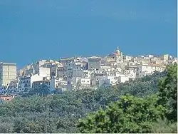 View of Ischitella | |
Location of Ischitella | |
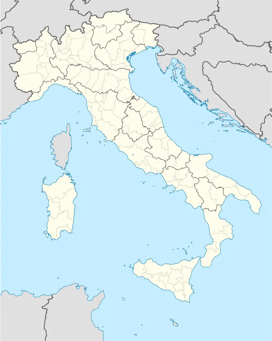 Ischitella Location of Ischitella in Italy 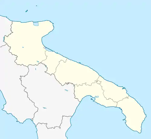 Ischitella Ischitella (Apulia) | |
| Coordinates: 41°54′N 15°54′E / 41.900°N 15.900°E | |
| Country | Italy |
| Region | Apulia |
| Province | Foggia (FG) |
| Frazioni | Foce Varano |
| Government | |
| • Mayor | Carlo Guerra |
| Area | |
| • Total | 85.46 km2 (33.00 sq mi) |
| Elevation | 310 m (1,020 ft) |
| Population (28 February 2017)[2] | |
| • Total | 4,405 |
| • Density | 52/km2 (130/sq mi) |
| Demonym | Ischitellani |
| Time zone | UTC+1 (CET) |
| • Summer (DST) | UTC+2 (CEST) |
| Postal code | 71010 |
| Dialing code | 0884 |
| Patron saint | Saint Eustace |
| Saint day | 20 May |
| Website | Official website |
Ischitella (Foggiano: Schetédde) is a town and comune in the province of Foggia, Apulia, southeast Italy. It is a centre for agrumes production, on the northern slopes of the Gargano promontory.
Main sights
- The castle, now a private palace, built in the 12th century and remade in the 17th century
- Church of St. Eustace (18th century)
- Abbey of San Pietro in Cuppis, located outside the town, in Byzantine-Romanesque style. Known since as early as 1058, it is now in decaying state.
Twin towns
 Settimo Torinese, Italy, since 2006
References
- ↑ "Superficie di Comuni Province e Regioni italiane al 9 ottobre 2011". Italian National Institute of Statistics. Retrieved 16 March 2019.
- ↑ All demographics and other statistics from the Italian statistical institute (Istat)
This article is issued from Wikipedia. The text is licensed under Creative Commons - Attribution - Sharealike. Additional terms may apply for the media files.