Itariri | |
|---|---|
 Flag  Coat of arms | |
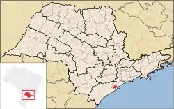 Location in São Paulo state | |
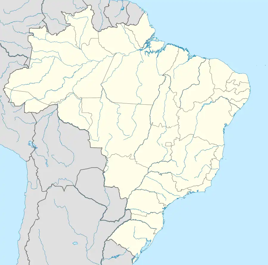 Itariri Location in Brazil | |
| Coordinates: 24°17′20″S 47°10′26″W / 24.28889°S 47.17389°W | |
| Country | Brazil |
| Region | Southeast |
| State | São Paulo |
| Area | |
| • Total | 273.67 km2 (105.66 sq mi) |
| Population (2020 [1]) | |
| • Total | 17,598 |
| • Density | 64/km2 (170/sq mi) |
| Time zone | UTC−3 (BRT) |
| Postal code | 11760-xxx |
| Area code | (00)55-11 |
| Website | www.itariri.sp.gov.br |
Itariri is a municipality in the state of São Paulo in Brazil. The population is 17,598 (2020 est.) in an area of 273.67 km².[2] The elevation is 55 m. Itariri is situated on the BR-101 highway, 18 km west of the coastal city Peruíbe.
The municipality contains a small part of the 84,425 hectares (208,620 acres) Juréia-Itatins Ecological Station, a strictly protected area of well-preserved Atlantic Forest created in 1986.[3]
References
- ↑ IBGE 2020
- ↑ Instituto Brasileiro de Geografia e Estatística
- ↑ ESEC Juréia-Itatins (in Portuguese), ISA: Instituto Socioambiental, retrieved 2016-07-19
External links
- (in Portuguese) http://www.itariri.sp.gov.br
- (in Portuguese) citybrazil.com.br
- (in Portuguese) Portal Nosso São Paulo
This article is issued from Wikipedia. The text is licensed under Creative Commons - Attribution - Sharealike. Additional terms may apply for the media files.