Ivánc | |
|---|---|
.svg.png.webp) Flag  Coat of arms | |
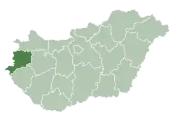
 Ivánc Location of Ivánc in Hungary | |
| Coordinates: 46°56′08″N 16°29′50″E / 46.93542°N 16.49709°E | |
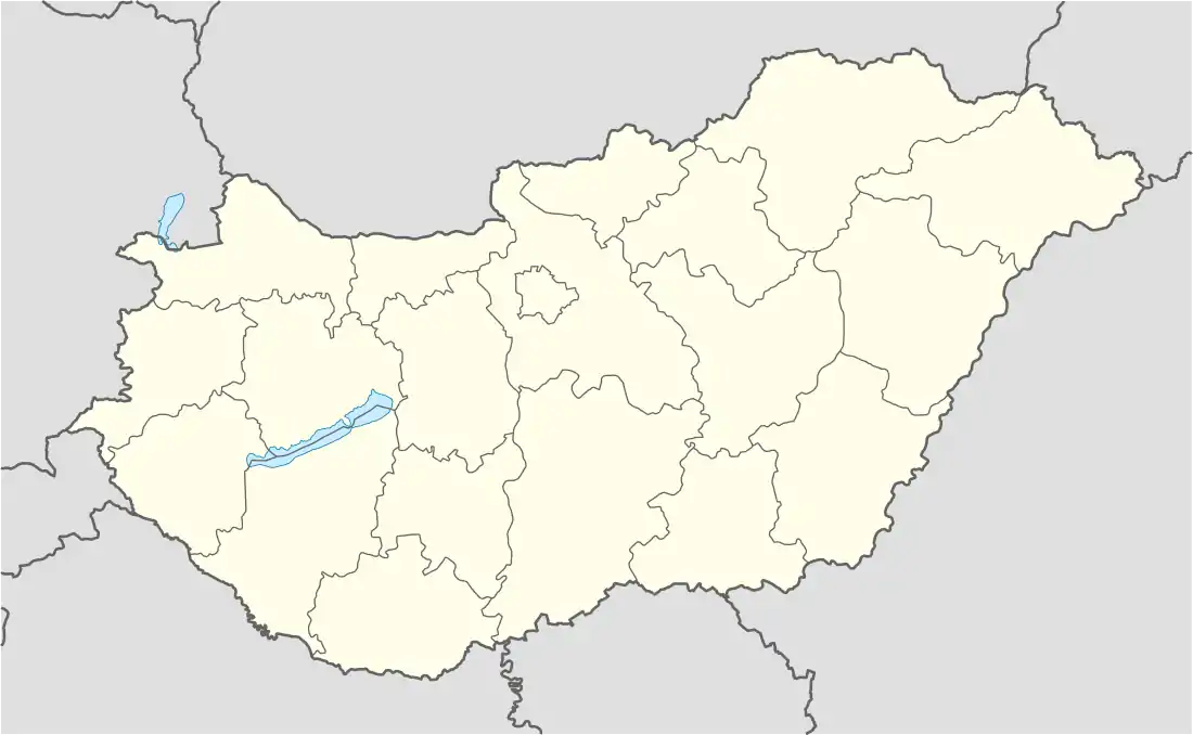
| Country | Hungary |
| Region | Western Transdanubia |
| County | Vas |
| Subregion | Őriszentpéteri |
| Rank | Village |
| Area | |
| • Total | 17.14 km2 (6.62 sq mi) |
| Population (1 January 2008)[2] | |
| • Total | 702 |
| • Density | 41/km2 (110/sq mi) |
| Time zone | UTC+1 (CET) |
| • Summer (DST) | UTC+2 (CEST) |
| Postal code | 9931 |
| Area code | +36 94 |
| KSH code | 31680[1] |
| Website | www.ivanc.hu |
References
- 1 2 Ivánc at the Hungarian Central Statistical Office (Hungarian).
- ↑ Ivánc at the Hungarian Central Statistical Office (Hungarian). 1 January 2008
46°56′N 16°30′E / 46.933°N 16.500°E

This article is issued from Wikipedia. The text is licensed under Creative Commons - Attribution - Sharealike. Additional terms may apply for the media files.