Johnson | |
|---|---|
 Johnson  Johnson  Johnson | |
| Coordinates: 46°37′53.6″N 117°8′16.6″W / 46.631556°N 117.137944°W | |
| Country | United States |
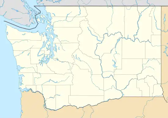
| State | Washington |
| County | Whitman |
| Elevation | 2,638 ft (804 m) |
| Time zone | UTC-8 (Pacific (PST)) |
| • Summer (DST) | UTC-7 (PDT) |
| ZIP code | 99113 |
| Area code | 509 |
| GNIS feature ID | 1512333[1] |
Johnson is an unincorporated community in Whitman County, in the U.S. state of Washington.[2]
History
A post office called Johnson was established in 1888, and remained in operation until 1956.[3] The community was named after Jonathan Johnson, the original owner of the town site.[4]
References
- ↑ "Johnson Summary Report". nationalmap.gov. U.S. Geological Survey. Retrieved October 10, 2023.
- ↑ U.S. Geological Survey Geographic Names Information System: Johnson, Washington
- ↑ "Post Offices". Jim Forte Postal History. Retrieved August 13, 2016.
- ↑ Meany, Edmond S. (1923). Origin of Washington geographic names. Seattle: University of Washington Press. p. 124.
Municipalities and communities of Whitman County, Washington, United States | ||
|---|---|---|
| Cities | 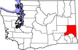 Map of Washington highlighting Whitman County | |
| Towns | ||
| CDP | ||
| Other communities | ||
| Ghost towns | ||
| ||
This article is issued from Wikipedia. The text is licensed under Creative Commons - Attribution - Sharealike. Additional terms may apply for the media files.