Kaba | |
|---|---|
|
Flag  Seal | |
 Kaba | |
| Coordinates: 47°21′3″N 21°17′3″E / 47.35083°N 21.28417°E | |
| Country | |
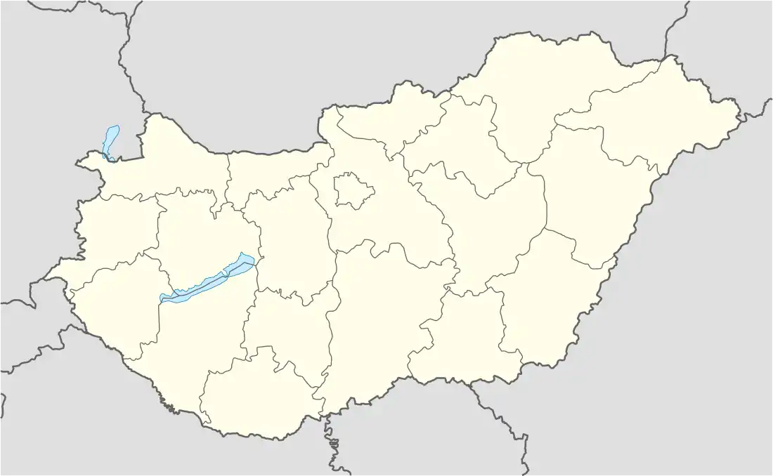
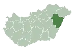
| County | Hajdú-Bihar |
| District | Püspökladány |
| Area | |
| • Total | 95.03 km2 (36.69 sq mi) |
| Population (2015) | |
| • Total | 5,878[1] |
| Time zone | UTC+1 (CET) |
| • Summer (DST) | UTC+2 (CEST) |
| Postal code | 4183 |
| Area code | (+36) 54 |
| Website | www |
Kaba (/ˈkɑːbɑː/ ⓘ) is a town in eastern Hungary, in the county of Hajdú-Bihar. The town is located along the Hungarian Route 4, approximately 190 km from Budapest, the capital city and 32 km west from Debrecen, the county seat.
International relations
Twin towns – sister cities
Kaba is twinned with:
References
- ↑ Gazetteer of Hungary, 1st January 2015. Hungarian Central Statistical Office.
- ↑ "Kaba meteorite, Kaba, Great Hungarian Plain, Hajdú-Bihar Co., Hungary". Mindat.org. Retrieved 24 November 2018.
External links
Wikimedia Commons has media related to Kaba.
- Official website in Hungarian
| Towns (2) |
| |
|---|---|---|
| Large villages (3) | ||
| Villages (7) | ||
| City with county rights |
|   |
|---|---|---|
| Towns | ||
| Large villages | ||
| Villages |
| |
| Other topics |
| |
47°21′N 21°17′E / 47.350°N 21.283°E
This article is issued from Wikipedia. The text is licensed under Creative Commons - Attribution - Sharealike. Additional terms may apply for the media files.