| Kaldurg Fort | |
|---|---|
| Palghar district, Maharashtra | |
 Kaldurg Fort 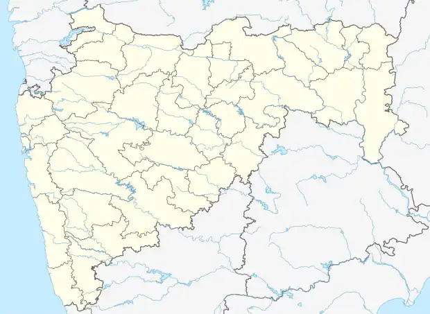 Kaldurg Fort | |
| Coordinates | 19°41′28.7″N 72°49′01.2″E / 19.691306°N 72.817000°E |
| Type | fort |
| Height | 475 metres (1,558 ft) |
| Site information | |
| Open to the public | yes |
Kaldurg Fort is east of Palghar, Maharashtra, India, in the Sahyadri mountain range of northern Konkan. Its height is at least 475 meters above sea level,[1] giving views of the Arabian Sea and the industrial town of Palghar to the west, as well as views of the Surya River, to the east.
This rectangular shape of a fort can easily be located from a distance. There is no historic sign. The fort is divided into the upper part and lower part by a rectangular rock. There are a few steps that separate these two parts.[2]
References
- ↑ jain, piyush. "Trek to Kaldurg Fort - Weekend Getaway". Tripoto. Retrieved 23 October 2020.
- ↑ "Culture & Heritage". palghar.gov.in. Retrieved 4 June 2018.
This article is issued from Wikipedia. The text is licensed under Creative Commons - Attribution - Sharealike. Additional terms may apply for the media files.