Kaposszerdahely | |
|---|---|
Village | |
 Flag  Coat of arms | |
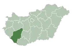
 Kaposszerdahely Location of Kaposszerdahely | |
| Coordinates: 46°19′21″N 17°45′26″E / 46.32254°N 17.75723°E | |
| Country | |
| Region | Southern Transdanubia |
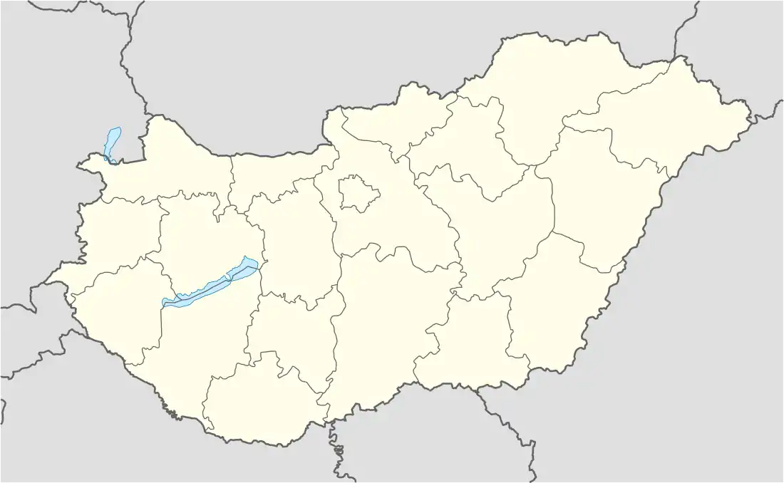
| County | Somogy |
| District | Kaposvár |
| RC Diocese | Kaposvár |
| Area | |
| • Total | 8.85 km2 (3.42 sq mi) |
| Population (2017) | |
| • Total | 909[1] |
| Demonym(s) | szerdahelyi, kaposszerdahelyi |
| Time zone | UTC+1 (CET) |
| • Summer (DST) | UTC+2 (CEST) |
| Postal code | 7476 |
| Area code | (+36) 82 |
| NUTS 3 code | HU232 |
| MP | Attila Gelencsér (Fidesz) |
| Website | Kaposszerdahely Online |
References
External links
This article is issued from Wikipedia. The text is licensed under Creative Commons - Attribution - Sharealike. Additional terms may apply for the media files.