Kistelek | |
|---|---|
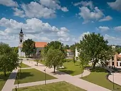 Aerial view | |
 Flag  Coat of arms | |
 Kistelek | |
| Coordinates: 46°28′23″N 19°58′48″E / 46.473°N 19.980°E | |
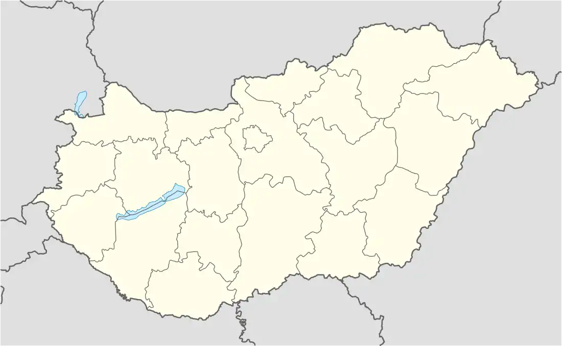
| Country | |
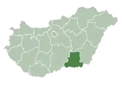
| County | Csongrád |
| District | Kistelek |
| Area | |
| • Total | 69.19 km2 (26.71 sq mi) |
| Population (2012) | |
| • Total | 7,020 |
| • Density | 109/km2 (280/sq mi) |
| Time zone | UTC+1 (CET) |
| • Summer (DST) | UTC+2 (CEST) |
| Postal code | 6760 |
| Area code | (+36) 62 |
| Website | www |
Kistelek is a town in Csongrád county, in the Southern Great Plain region of southern Hungary.
Geography
It covers an area of 69.19 km2 (26.71 sq mi) and has a population of 7020 people (2012).
Twin towns – sister cities
References
- ↑ "Testvérvárosok". kistelek.hu (in Hungarian). Kistelek. Retrieved 2021-04-28.
External links
Wikimedia Commons has media related to Kistelek.
- Official website in Hungarian, English and German
| Town (1) |
| |
|---|---|---|
| Villages (5) | ||
| Cities with county rights |
|   |
|---|---|---|
| Towns | ||
| Large villages | ||
| Villages |
| |
| Other topics |
| |
46°28′23″N 19°58′48″E / 46.473°N 19.980°E
This article is issued from Wikipedia. The text is licensed under Creative Commons - Attribution - Sharealike. Additional terms may apply for the media files.