Kolenté | |
|---|---|
Sub-prefecture and town | |
 Kolenté Location in Guinea | |
| Coordinates: 10°6′N 12°37′W / 10.100°N 12.617°W | |
| Country | |
| Region | Kindia Region |
| Prefecture | Kindia Prefecture |
| Elevation | 590 ft (180 m) |
| Time zone | UTC+0 (GMT) |
Kolenté is a town and sub-prefecture in the Kindia Prefecture in the Kindia Region of western Guinea.[1]
It lies about 20 km from the Sierra Leone border.
Transport
It is served by a small station on the national railway system.
See also
References
- ↑ "Subprefectures of Guinea". Statoids. Retrieved April 19, 2009.
10°06′N 12°37′W / 10.100°N 12.617°W
Capital: Kindia | ||
| Sub-prefectures | 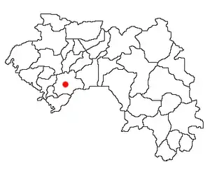 | |
This article is issued from Wikipedia. The text is licensed under Creative Commons - Attribution - Sharealike. Additional terms may apply for the media files.