Kotvrdovice | |
|---|---|
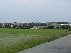 General view of Kotvrdovice | |
 Flag  Coat of arms | |
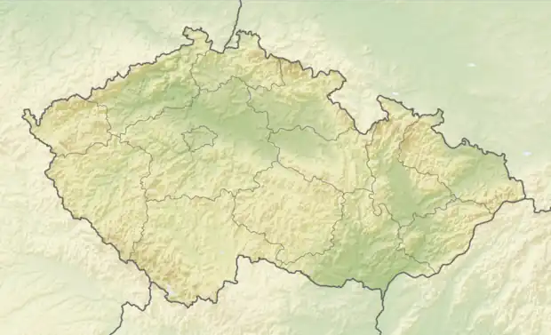 Kotvrdovice Location in the Czech Republic | |
| Coordinates: 49°21′18″N 16°47′4″E / 49.35500°N 16.78444°E | |
| Country | |
| Region | South Moravian |
| District | Blansko |
| First mentioned | 1349 |
| Area | |
| • Total | 5.58 km2 (2.15 sq mi) |
| Elevation | 535 m (1,755 ft) |
| Population (2023-01-01)[1] | |
| • Total | 916 |
| • Density | 160/km2 (430/sq mi) |
| Time zone | UTC+1 (CET) |
| • Summer (DST) | UTC+2 (CEST) |
| Postal code | 679 07 |
| Website | www |
Kotvrdovice (German: Gottfriedsschlag) is a municipality and village in Blansko District in the South Moravian Region of the Czech Republic. It has about 900 inhabitants.
Twin towns – sister cities
Kotvrdovice is twinned with:[2]
 Aschheim, Germany
References
- ↑ "Population of Municipalities – 1 January 2023". Czech Statistical Office. 2023-05-23.
- ↑ "Jedovnice/Kotvrdovice (Tschechien)" (in German). Aschheim. Retrieved 2023-08-04.
External links
Wikimedia Commons has media related to Kotvrdovice.
This article is issued from Wikipedia. The text is licensed under Creative Commons - Attribution - Sharealike. Additional terms may apply for the media files.