Kusumgram | |
|---|---|
Village | |
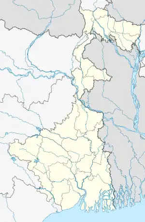 Kusumgram Location in West Bengal, India  Kusumgram Kusumgram (India) | |
| Coordinates: 23°23′26″N 88°08′01″E / 23.3905°N 88.1335°E | |
| Country | |
| State | West Bengal |
| District | Purba Bardhaman |
| Elevation | 16 m (52 ft) |
| Population (2011) | |
| • Total | 11,707 |
| Languages | |
| • Official | Bengali, English |
| Time zone | UTC+5:30 (IST) |
| PIN | 713422(Kusumgram) |
| Telephone/STD code | 0342 |
| Lok Sabha constituency | Bardhaman-Durgapur |
| Vidhan Sabha constituency | Manteswar |
| Website | bardhaman |
Kusumgram is a large and famous village in Manteswar CD block in Kalna subdivision of Purba Bardhaman district in the state of West Bengal, India.It is a Muslim majority village with 80 percent Muslims.
Demographics
As per the 2011 Census of India Kusumgram had a total population of 11,707, of which 5,972 (51%) were males and 5,735 (49%) were females. Population below 6 years was 1,572. The total number of literates in Kusumgram was 7,470 (73.70% of the population over 6 years).[1]
Transport
State Highway 8 running from Santaldi (in Purulia district) to Majhdia (in Nadia district) and State Highway 15 running from Dainhat (in Purba Bardhaman district) to Gadiara (in Howrah district) cross at Kusumgram.[2]
Education
Kusumgram Tyeba Institution, established in 1923, is a Bengali-medium co-educational, higher secondary school.[3]
Several private primary and secondary residential and day-boarding schools such as Children Academy were also founded.
References
- ↑ "2011 Census – Primary Census Abstract Data Tables". West Bengal – District-wise. Registrar General and Census Commissioner, India. Retrieved 18 March 2017.
- ↑ "List of State Highways in West Bengal". West Bengal Traffic Police. Retrieved 18 March 2017.
- ↑ "Kusumgram Tyeba Institution". ICBSE. Retrieved 6 March 2017.
Cities, towns and locations in Purba Bardhaman district, Burdwan division | ||||||||||
|---|---|---|---|---|---|---|---|---|---|---|
| Cities, municipal and census towns |
| 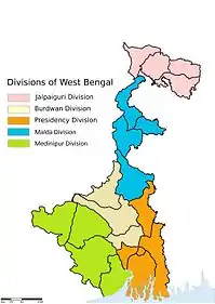 Divisions of West Bengal | ||||||||
| Locations other than cities and towns |
| |||||||||
| Related topics |
| |||||||||