Laer | |
|---|---|
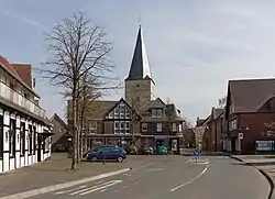 Laer, church (Pfarrkirche Sankt Bartholomäus) | |
 Coat of arms | |
Location of Laer within Steinfurt district 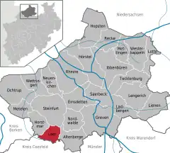 | |
 Laer 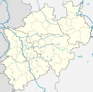 Laer | |
| Coordinates: 52°03′17″N 7°21′25″E / 52.05472°N 7.35694°E | |
| Country | Germany |
| State | North Rhine-Westphalia |
| Admin. region | Münster |
| District | Steinfurt |
| First mentioned | 1134 |
| Government | |
| • Mayor (2020–25) | Manfred Kluthe[1] (CDU) |
| Area | |
| • Total | 35.25 km2 (13.61 sq mi) |
| Elevation | 77 m (253 ft) |
| Population (2021-12-31)[2] | |
| • Total | 6,668 |
| • Density | 190/km2 (490/sq mi) |
| Time zone | UTC+01:00 (CET) |
| • Summer (DST) | UTC+02:00 (CEST) |
| Postal codes | 48366 |
| Dialling codes | 02554 |
| Vehicle registration | ST |
| Website | www |
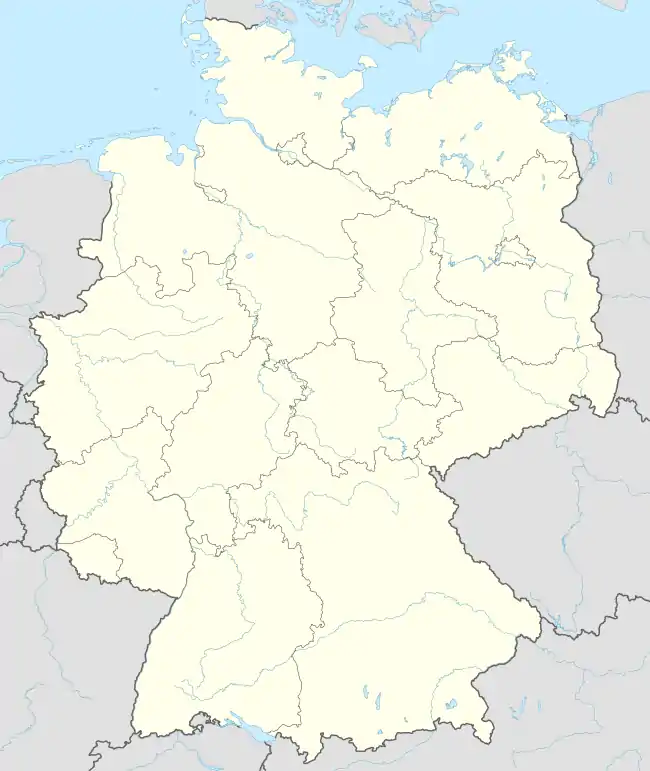
Laer (German pronunciation: [ˈlaːɐ̯]) is a municipality in the district of Steinfurt, in North Rhine-Westphalia, Germany. It is situated approximately 10 kilometres (6.2 mi) south of Steinfurt and 20 kilometres (12 mi) north-west of Münster.
Since the ae spelling already contradicted the rules in force before 1996, it was not amended in accordance with a recommendation of the Standing Committee on Geographical Names.[3]
Gallery
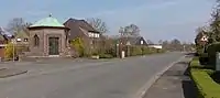 Laer, chapel in the street
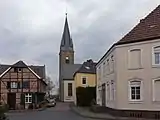 Holthausen, church (Pfarrkirche Sankt Marien)
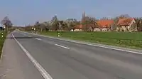 Altenburg, street view from local road
References
- ↑ Wahlergebnisse in NRW Kommunalwahlen 2020, Land Nordrhein-Westfalen, accessed 30 June 2021.
- ↑ "Bevölkerung der Gemeinden Nordrhein-Westfalens am 31. Dezember 2021" (in German). Landesbetrieb Information und Technik NRW. Retrieved 20 June 2022.
- ↑ "StAGN Web - Homepage - Empfehlung zur Anwendung der Rechtschreibreform".
Towns and municipalities in Steinfurt (district) | ||
|---|---|---|
Coat of Arms of Steinfurt district | ||
This article is issued from Wikipedia. The text is licensed under Creative Commons - Attribution - Sharealike. Additional terms may apply for the media files.