Lamerdingen | |
|---|---|
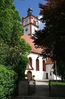 Saint Martin Church | |
 Coat of arms | |
Location of Lamerdingen within Ostallgäu district 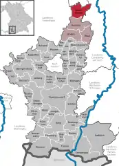 | |
 Lamerdingen 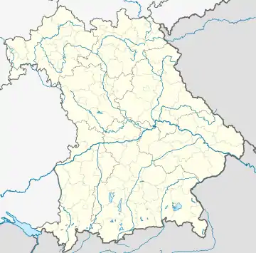 Lamerdingen | |
| Coordinates: 48°5′N 10°44′E / 48.083°N 10.733°E | |
| Country | Germany |
| State | Bavaria |
| Admin. region | Schwaben |
| District | Ostallgäu |
| Government | |
| • Mayor (2020–26) | Manuel Fischer[1] (FW) |
| Area | |
| • Total | 34.24 km2 (13.22 sq mi) |
| Elevation | 596 m (1,955 ft) |
| Population (2022-12-31)[2] | |
| • Total | 2,222 |
| • Density | 65/km2 (170/sq mi) |
| Time zone | UTC+01:00 (CET) |
| • Summer (DST) | UTC+02:00 (CEST) |
| Postal codes | 86862 |
| Dialling codes | 08241, 08248 |
| Vehicle registration | OAL |
| Website | www.lamerdingen.de |
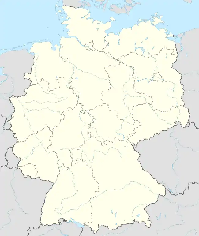
Lamerdingen is a municipality in the district of Ostallgäu in Bavaria in Germany. The town has a municipal association with Buchloe.
References
- ↑ Liste der ersten Bürgermeister/Oberbürgermeister in kreisangehörigen Gemeinden, Bayerisches Landesamt für Statistik, 15 July 2021.
- ↑ Genesis Online-Datenbank des Bayerischen Landesamtes für Statistik Tabelle 12411-003r Fortschreibung des Bevölkerungsstandes: Gemeinden, Stichtag (Einwohnerzahlen auf Grundlage des Zensus 2011)
Towns and municipalities in Ostallgäu | ||
|---|---|---|
| Coat of Arms of Ostallgäu district | |
This article is issued from Wikipedia. The text is licensed under Creative Commons - Attribution - Sharealike. Additional terms may apply for the media files.