Lansargues | |
|---|---|
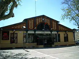 Town hall | |
.svg.png.webp) Coat of arms | |
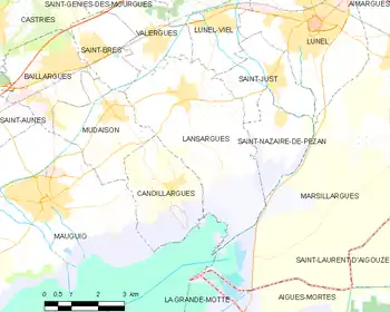
Location of Lansargues | |
 Lansargues 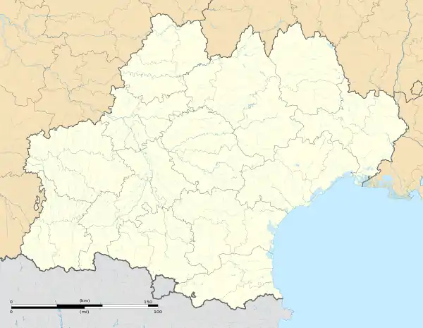 Lansargues | |
| Coordinates: 43°39′09″N 4°04′25″E / 43.6525°N 4.0736°E | |
| Country | France |
| Region | Occitania |
| Department | Hérault |
| Arrondissement | Montpellier |
| Canton | Mauguio |
| Intercommunality | CA Pays de l'Or |
| Government | |
| • Mayor (2020–2026) | Michel Carlier[1] |
| Area 1 | 18.39 km2 (7.10 sq mi) |
| Population | 3,107 |
| • Density | 170/km2 (440/sq mi) |
| Time zone | UTC+01:00 (CET) |
| • Summer (DST) | UTC+02:00 (CEST) |
| INSEE/Postal code | 34127 /34130 |
| Elevation | 0–16 m (0–52 ft) (avg. 9 m or 30 ft) |
| 1 French Land Register data, which excludes lakes, ponds, glaciers > 1 km2 (0.386 sq mi or 247 acres) and river estuaries. | |
Lansargues (French pronunciation: [lɑ̃saʁɡ]; Occitan: Lançargues) is a commune in the Hérault département in the Occitanie region in southern France.
Map
Population
| Year | Pop. | ±% p.a. |
|---|---|---|
| 1968 | 1,504 | — |
| 1975 | 1,380 | −1.22% |
| 1982 | 1,704 | +3.06% |
| 1990 | 2,130 | +2.83% |
| 1999 | 2,491 | +1.75% |
| 2007 | 2,619 | +0.63% |
| 2012 | 2,876 | +1.89% |
| 2017 | 3,112 | +1.59% |
| Source: INSEE[3] | ||
See also
References
- ↑ "Répertoire national des élus: les maires". data.gouv.fr, Plateforme ouverte des données publiques françaises (in French). 2 December 2020.
- ↑ "Populations légales 2021". The National Institute of Statistics and Economic Studies. 28 December 2023.
- ↑ Population en historique depuis 1968, INSEE
Wikimedia Commons has media related to Lansargues.
This article is issued from Wikipedia. The text is licensed under Creative Commons - Attribution - Sharealike. Additional terms may apply for the media files.