Le Monastier-Pin-Moriès | |
|---|---|
Part of Bourgs-sur-Colagne | |
 The former house of the prior, now the town hall | |
 Coat of arms | |
Location of Le Monastier-Pin-Moriès | |
 Le Monastier-Pin-Moriès 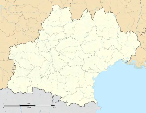 Le Monastier-Pin-Moriès | |
| Coordinates: 44°30′56″N 3°15′19″E / 44.5156°N 3.2553°E | |
| Country | France |
| Region | Occitania |
| Department | Lozère |
| Arrondissement | Mende |
| Canton | Chirac |
| Commune | Bourgs-sur-Colagne |
| Area 1 | 19.30 km2 (7.45 sq mi) |
| Population (2019)[1] | 948 |
| • Density | 49/km2 (130/sq mi) |
| Time zone | UTC+01:00 (CET) |
| • Summer (DST) | UTC+02:00 (CEST) |
| Postal code | 48100 |
| Elevation | 570–1,053 m (1,870–3,455 ft) (avg. 610 m or 2,000 ft) |
| 1 French Land Register data, which excludes lakes, ponds, glaciers > 1 km2 (0.386 sq mi or 247 acres) and river estuaries. | |
Le Monastier-Pin-Moriès (French pronunciation: [lə mɔnastje pɛ̃ mɔʁjɛs]; Occitan: Lo Monastièr) is a former commune in the Lozère département in southern France.[2] On 1 January 2016, it was merged into the new commune of Bourgs-sur-Colagne.[3]
Geography
The Colagne flows southward through the eastern part of the commune, forms part of its south-eastern border, then flows into the Lot, which forms part of the commune's southern border.
See also
References
- ↑ Téléchargement du fichier d'ensemble des populations légales en 2019, INSEE
- ↑ Des villages de Cassini aux communes d'aujourd'hui: Commune data sheet Le Monastier-Pin-Moriès, EHESS (in French).
- ↑ Arrêté préfectoral 15 December 2015
Wikimedia Commons has media related to Le Monastier-Pin-Moriès.
This article is issued from Wikipedia. The text is licensed under Creative Commons - Attribution - Sharealike. Additional terms may apply for the media files.