| Leatherman Peak | |
|---|---|
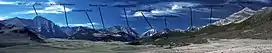 Leatherman Peak at center | |
| Highest point | |
| Elevation | 12,228 ft (3,727 m) |
| Prominence | 1,668 ft (508 m)[1] |
| Parent peak | Borah Peak |
| Coordinates | 44°04′56″N 113°43′58″W / 44.0821375°N 113.7328047°W[2] |
| Geography | |
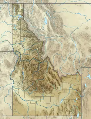 Leatherman Peak Custer County, Idaho, U.S. | |
| Parent range | Lost River Range |
| Topo map | USGS Leatherman Peak |
| Climbing | |
| First ascent | 1912 by T.M Bannon |
| Easiest route | Scrambling, class 3 |
Leatherman Peak, at 12,228 feet (3,727 m) above sea level is the second highest peak in Idaho and the Lost River Range. The peak is located in Salmon-Challis National Forest in Custer County. It is 4.5 mi (7.2 km) southeast of Borah Peak, its line parent.[3][4][5]
References
- ↑ "Leatherman Peak, Idaho". Peakbagger.com. Retrieved January 2, 2013.
- ↑ "Leatherman Peak". Geographic Names Information System. United States Geological Survey, United States Department of the Interior. Retrieved January 2, 2013.
- ↑ "The 100 Highest Peaks". Idaho: A Climbing Guide. Retrieved January 2, 2013.
- ↑ "Leatherman Peak". SummitPost.org. Retrieved January 2, 2013.
- ↑ "Leatherman Peak". Idaho Summits. Retrieved January 2, 2013.
This article is issued from Wikipedia. The text is licensed under Creative Commons - Attribution - Sharealike. Additional terms may apply for the media files.