Letsitele | |
|---|---|
 Letsitele 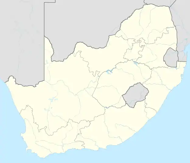 Letsitele | |
| Coordinates: 23°53′S 30°24′E / 23.883°S 30.400°E | |
| Country | South Africa |
| Province | Limpopo |
| District | Mopani |
| Municipality | Greater Tzaneen |
| Area | |
| • Total | 1.36 km2 (0.53 sq mi) |
| Population (2011)[1] | |
| • Total | 406 |
| • Density | 300/km2 (770/sq mi) |
| Racial makeup (2011) | |
| • Black African | 17.7% |
| • White | 80.8% |
| • Other | 1.5% |
| First languages (2011) | |
| • Afrikaans | 81.3% |
| • Tsonga | 7.9% |
| • English | 4.2% |
| • Northern Sotho | 2.2% |
| • Other | 4.4% |
| Time zone | UTC+2 (SAST) |
| Postal code (street) | 0885 |
| PO box | 0885 |
| Area code | 015 |
Letsitele is a small town situated in the Limpopo province of South Africa. It is a farming district, primarily citrus, tobacco, beef cattle and other fruits.
References
- 1 2 3 4 "Main Place Letsitele". Census 2011.
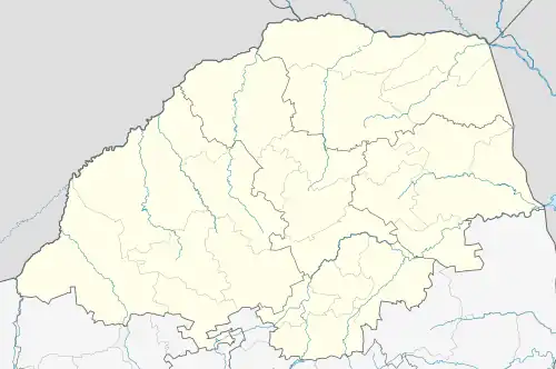
Municipalities and communities of Mopani District Municipality, Limpopo | ||
|---|---|---|
District seat: Giyani | ||
| Ba-Phalaborwa | .svg.png.webp) | |
| Greater Giyani | ||
| Greater Letaba | ||
| Greater Tzaneen | ||
| Maruleng | ||
This article is issued from Wikipedia. The text is licensed under Creative Commons - Attribution - Sharealike. Additional terms may apply for the media files.