Mäls | |
|---|---|
Village | |
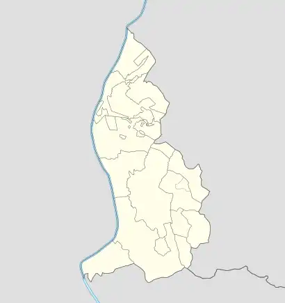 Mäls Locator map of Mäls in Liechtenstein | |
| Coordinates: 47°03′45″N 9°29′40″E / 47.06250°N 9.49444°E | |
| Country | |
| Electoral district | |
| Municipality | |
| Elevation | 472 m (1,549 ft) |
| Time zone | UTC+1 (CET) |
| • Summer (DST) | UTC+2 (CEST) |
| Postal code | 9496 |
| Area code | (+423) ... |
Mäls is a village of Liechtenstein, located in the municipality of Balzers.
Geography
The village, contiguous with Balzers, is located next to the river Rhine and to the borders of Switzerland.[1]
References
- ↑ Google. "Mäls" (Map). Google Maps. Google.
Villages of Liechtenstein (hamlets of the 11 municipalities) | |||
|---|---|---|---|
This article is issued from Wikipedia. The text is licensed under Creative Commons - Attribution - Sharealike. Additional terms may apply for the media files.