Mönchweiler | |
|---|---|
 Coat of arms | |
Location of Mönchweiler within Schwarzwald-Baar-Kreis district 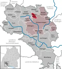 | |
 Mönchweiler 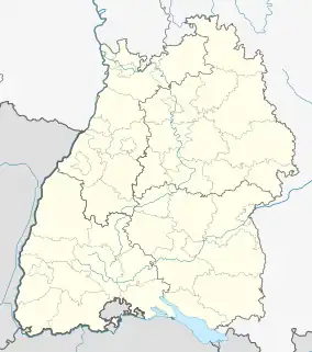 Mönchweiler | |
| Coordinates: 48°06′00″N 08°25′28″E / 48.10000°N 8.42444°E | |
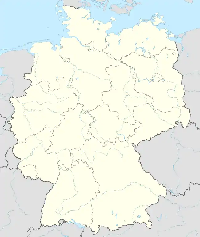
| Country | Germany |
| State | Baden-Württemberg |
| Admin. region | Freiburg |
| District | Schwarzwald-Baar-Kreis |
| Government | |
| • Mayor (2016–24) | Rudolf Fluck[1] |
| Area | |
| • Total | 9.60 km2 (3.71 sq mi) |
| Elevation | 757 m (2,484 ft) |
| Population (2021-12-31)[2] | |
| • Total | 2,964 |
| • Density | 310/km2 (800/sq mi) |
| Time zone | UTC+01:00 (CET) |
| • Summer (DST) | UTC+02:00 (CEST) |
| Postal codes | 78087 |
| Dialling codes | 07721 |
| Vehicle registration | VS |
| Website | moenchweiler.de |
Mönchweiler is a town in the district of Schwarzwald-Baar in Baden-Württemberg in Germany.
Demographics
Population development:[3]
|
References
- ↑ Aktuelle Wahlergebnisse, Staatsanzeiger, accessed 14 September 2021.
- ↑ "Bevölkerung nach Nationalität und Geschlecht am 31. Dezember 2021" [Population by nationality and sex as of December 31, 2021] (CSV) (in German). Statistisches Landesamt Baden-Württemberg. June 2022.
- ↑ "Mönchweiler (Schwarzwald-Baar-Kreis, Baden-Württemberg, Deutschland) - Einwohnerzahlen, Grafiken, Karte, Lage, Wetter und Web-Informationen". www.citypopulation.de. Retrieved 2023-06-23.
This article is issued from Wikipedia. The text is licensed under Creative Commons - Attribution - Sharealike. Additional terms may apply for the media files.