Mühlgraben | |
|---|---|
Panoramic view of Mühlgraben | |
 Coat of arms | |
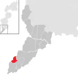 Location within Jennersdorf district | |
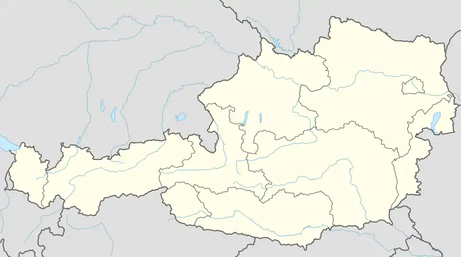 Mühlgraben Location within Austria | |
| Coordinates: 46°53′N 16°3′E / 46.883°N 16.050°E | |
| Country | Austria |
| State | Burgenland |
| District | Jennersdorf |
| Government | |
| • Mayor | Fabio Halb (SPÖ) |
| Area | |
| • Total | 5.55 km2 (2.14 sq mi) |
| Elevation | 318 m (1,043 ft) |
| Population (2018-01-01)[2] | |
| • Total | 396 |
| • Density | 71/km2 (180/sq mi) |
| Time zone | UTC+1 (CET) |
| • Summer (DST) | UTC+2 (CEST) |
| Postal code | 8385 |
| Website | www.muehlgraben.at |
Mühlgraben (Slovene: Mlin-Grabno, Hungarian: Malomgödör) is a town in the district of Jennersdorf in the Austrian state of Burgenland.
Population
| Year | Pop. | ±% |
|---|---|---|
| 1869 | 502 | — |
| 1880 | 560 | +11.6% |
| 1890 | 632 | +12.9% |
| 1900 | 578 | −8.5% |
| 1910 | 556 | −3.8% |
| 1923 | 559 | +0.5% |
| 1934 | 569 | +1.8% |
| 1939 | 507 | −10.9% |
| 1951 | 462 | −8.9% |
| 1961 | 455 | −1.5% |
| 1971 | 483 | +6.2% |
| 1981 | 467 | −3.3% |
| 1991 | 437 | −6.4% |
| 2001 | 450 | +3.0% |
| 2011 | 431 | −4.2% |
References
- ↑ "Dauersiedlungsraum der Gemeinden Politischen Bezirke und Bundesländer - Gebietsstand 1.1.2018". Statistics Austria. Retrieved 10 March 2019.
- ↑ "Einwohnerzahl 1.1.2018 nach Gemeinden mit Status, Gebietsstand 1.1.2018". Statistics Austria. Retrieved 9 March 2019.
This article is issued from Wikipedia. The text is licensed under Creative Commons - Attribution - Sharealike. Additional terms may apply for the media files.