Mabutsane
Gudas | |
|---|---|
Village | |
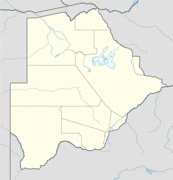 Mabutsane Location in Botswana | |
| Coordinates: 24°23′11.26″S 23°34′29.5″E / 24.3864611°S 23.574861°E | |
| Country | |
| District | Southern District (Botswana) |
| Population (2011) | |
| • Total | 2,386 |
Mabutsane is a Botswana village located in the Southern district, subdistrict of Ngwaketse West. According to the 2011 census, the village has 2,386 inhabitants.[1][2]
Location
In the territory of the village there are the following 23 locations:
- Bokhutlo of 11 inhabitants,
- Bokspan of 12 inhabitants,
- Ditlhako of 11 inhabitants,
- Gasekhukhu ,
- Ghia of 7 inhabitants,
- hantse ,
- Kabana of 3 inhabitants,
- Kenna of 10 inhabitants,
- Khawa ,
- Lokatsane ,
- Lwale ,
- Makalamabedi of 15 inhabitants,
- Marapalalo ,
- Matimela Camp of 4 inhabitants,
- Metlhaba ya Matlatlagwe of 3 inhabitants,
- Metlhabeng ,
- Motlops of 2 inhabitants,
- Nankhwane of 20 inhabitants,
- Nyetse ,
- Palamaokuwe of 19 inhabitants,
- Sekgwannabatho of 4 inhabitants,
- Sekgwasentsho of 7 inhabitants,
- Tlhatswe of 8 inhabitants
References
- ↑ "Botswana Central Statistics Office" (PDF). Archived from the original (PDF) on 2015-09-23.
- ↑ "Mabutsane". Google Maps. Retrieved 3 June 2018.
This article is issued from Wikipedia. The text is licensed under Creative Commons - Attribution - Sharealike. Additional terms may apply for the media files.