Magadi
Mahagadi | |
|---|---|
Town | |
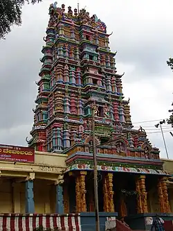 Ranganatha Swamy temple | |
| Nickname: The leopard country | |
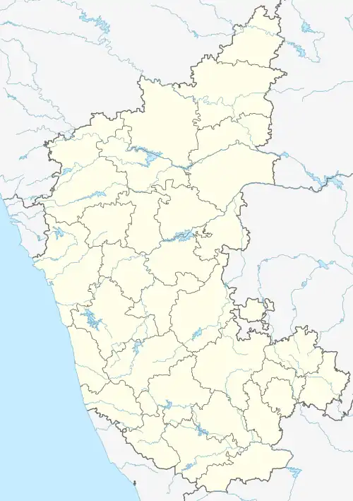 Magadi Location in Karnataka, India | |
| Coordinates: 12°58′N 77°14′E / 12.97°N 77.23°E | |
| Country | |
| State | Karnataka |
| District | Ramanagara |
| Founded by | Kempegowda |
| Elevation | 925 m (3,035 ft) |
| Population (2011) | |
| • Total | 30,000 |
| Languages | |
| • Official | Kannada |
| Time zone | UTC+5:30 (IST) |
| PIN | |
| Vehicle registration | KA-42 |
Magadi is a town and taluk located in Ramanagara district, Karnataka, India.
Geography
Magadi is located at 12°58′N 77°14′E / 12.97°N 77.23°E.[1] It has an average elevation of 925 metres (3034 feet).
Demographics
As of 2011 India census, Magadi had a population of 27,605. Males constitute 50% of the population and females 50%. Magadi has an average literacy rate of 69%, male literacy is 74%, and female literacy is 65%.[2]
See also
References
Wikimedia Commons has media related to Magadi.
- ↑ "Maps, Weather, and Airports for Magadi, India". www.fallingrain.com. Retrieved 23 December 2022.
- ↑ "Magadi town". 2011 Census Data. Retrieved 20 September 2020.
This article is issued from Wikipedia. The text is licensed under Creative Commons - Attribution - Sharealike. Additional terms may apply for the media files.