Makkoshotyka | |
|---|---|
Village | |
_-_Makkoshotyka%252C_2014.06.19_(1).JPG.webp) | |
 Flag  Coat of arms | |
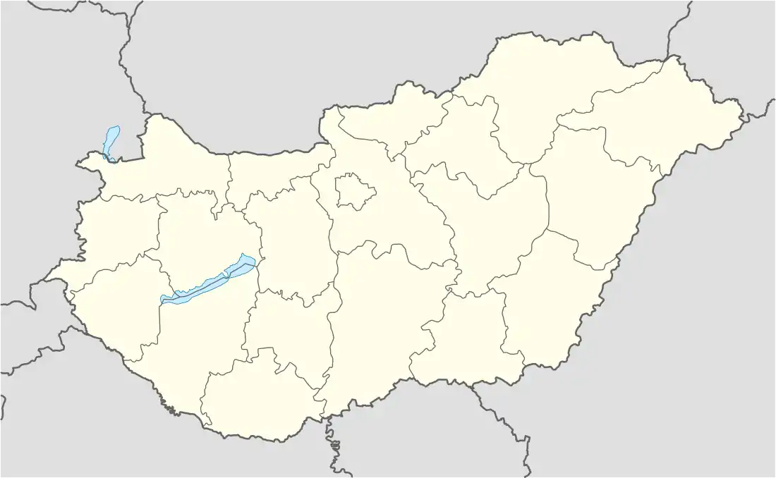 Makkoshotyka Location of Makkoshotyka | |
| Coordinates: 48°21′29″N 21°31′03″E / 48.35808°N 21.51758°E | |
| Country | Hungary |
| Region | Northern Hungary |
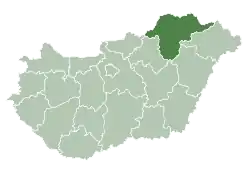
| County | Borsod-Abaúj-Zemplén |
| District | Sárospatak |
| Area | |
| • Total | 10.41 km2 (4.02 sq mi) |
| Population (1 January 2023)[1] | |
| • Total | 735 |
| • Density | 71/km2 (180/sq mi) |
| Time zone | UTC+1 (CET) |
| • Summer (DST) | UTC+2 (CEST) |
| Postal code | 3959 |
| Area code | (+36) 47 |
| Website | www |
Makkoshotyka is a village in Borsod-Abaúj-Zemplén County, Hungary.
References
- ↑ Error: Unable to display the reference properly. See the documentation for details.
This article is issued from Wikipedia. The text is licensed under Creative Commons - Attribution - Sharealike. Additional terms may apply for the media files.