Malansac
Malañseg | |
|---|---|
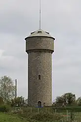 The water tower, in Malansac | |
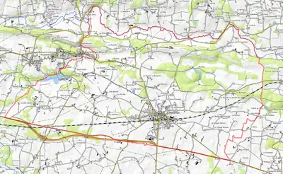
Location of Malansac | |
 Malansac  Malansac | |
| Coordinates: 47°40′43″N 2°17′37″W / 47.6786°N 2.2936°W | |
| Country | France |
| Region | Brittany |
| Department | Morbihan |
| Arrondissement | Vannes |
| Canton | Questembert |
| Government | |
| • Mayor (2022–2026) | Morgane Retho[1] |
| Area 1 | 36.18 km2 (13.97 sq mi) |
| Population | 2,244 |
| • Density | 62/km2 (160/sq mi) |
| Time zone | UTC+01:00 (CET) |
| • Summer (DST) | UTC+02:00 (CEST) |
| INSEE/Postal code | 56123 /56220 |
| Elevation | 6–97 m (20–318 ft) |
| 1 French Land Register data, which excludes lakes, ponds, glaciers > 1 km2 (0.386 sq mi or 247 acres) and river estuaries. | |
Malansac (French pronunciation: [malɑ̃sak]; Breton: Malañseg) is a commune in the Morbihan department of Brittany in north-western France.[3]
Geography
The river Arz forms all of the commune's northern border.
Population
| Year | Pop. | ±% p.a. |
|---|---|---|
| 1968 | 1,899 | — |
| 1975 | 1,913 | +0.10% |
| 1982 | 1,896 | −0.13% |
| 1990 | 1,894 | −0.01% |
| 1999 | 1,889 | −0.03% |
| 2007 | 1,999 | +0.71% |
| 2012 | 2,145 | +1.42% |
| 2017 | 2,202 | +0.53% |
| Source: INSEE[4] | ||
Inhabitants of Malansac are called in French Malansacais.
See also
References
- ↑ "Répertoire national des élus: les maires" (in French). data.gouv.fr, Plateforme ouverte des données publiques françaises. 16 December 2022.
- ↑ "Populations légales 2021". The National Institute of Statistics and Economic Studies. 28 December 2023.
- ↑ INSEE commune file
- ↑ Population en historique depuis 1968, INSEE
External links
Wikimedia Commons has media related to Malansac.
- Official site (in French)
- Base Mérimée: Search for heritage in the commune, Ministère français de la Culture. (in French)
- Mayors of Morbihan Association (in French)
This article is issued from Wikipedia. The text is licensed under Creative Commons - Attribution - Sharealike. Additional terms may apply for the media files.