Mathamangalam | |
|---|---|
Town | |
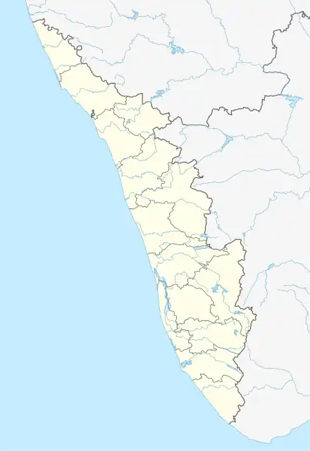 Mathamangalam Location in Kerala, India 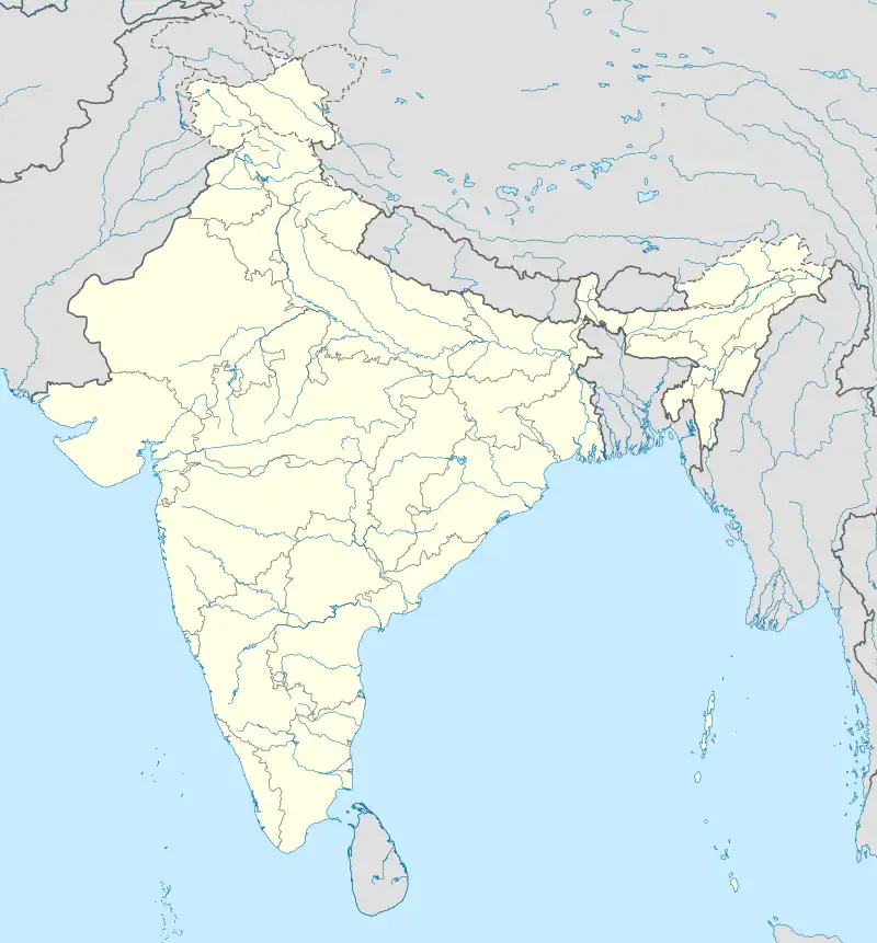 Mathamangalam Mathamangalam (India) | |
| Coordinates: 12°08′02″N 75°18′02″E / 12.1338°N 75.3005°E | |
| Country | |
| State | Kerala |
| District | Kannur |
| Taluk | Payyanur |
| Government | |
| • Body | Eramam-Kuttur Grama panchayat |
| Area | |
| • Total | 75.14 km2 (29.01 sq mi) |
| Elevation | 62 m (203 ft) |
| Population (2011) | |
| • Total | 27,830 |
| • Density | 370/km2 (960/sq mi) |
| Languages | |
| • Official | Malayalam, English |
| Time zone | UTC+5:30 (IST) |
| PIN | 670306 |
| Telephone code | 04985 |
| ISO 3166 code | IN-KL |
| Vehicle registration | KL 86 |
| Assembly constituency | Payyanur |
| Lok Sabha constituency | Kasaragod |
| Nearest Railway station | Payyanur - 17 km, Pazhayangadi - 15 km |
Mathamangalam or M. M. Bazar is a small town in Kannur district of Kerala state, India. Mathamagalam is a main trading centre, especially for hill products.
Location
Mathamangalam is 8.5 kilometers from Pilathara junction on the National Highway-66. It is 14 km from Payyanur and 39 km from Kannur, the district headquarters.[2][3]
Education
College of Engineering and Technology.[4]
Post Office
There is a post office in the village and it is officially called Mathamangalam Bazar or M.M.Bazar. The pincode is 670306.[5]
Administration
See also
References
- ↑ "Topographic map of Mathamangalam Kannur, India". elevationmap.net.
- ↑ "Google Maps".
- ↑ "Mathamangalam (ii), Kannur District, Kerala, India - Kerala Tourism".
- ↑ "College of Engineering and Technology - Payyanur".
- ↑ "Pin Code: MATHAMANGALAM, KANNUR, KERALA, India, Pincode.net.in".
- ↑ "Mathamangalam Village, Payyannur Taluk, Kannur District".
This article is issued from Wikipedia. The text is licensed under Creative Commons - Attribution - Sharealike. Additional terms may apply for the media files.