Menogeia | |
|---|---|
village | |
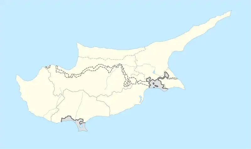 Menogeia Location in Cyprus | |
| Coordinates: 34°50′34″N 33°26′27″E / 34.84278°N 33.44083°E | |
| Country | |
| District | Larnaca District |
| Area | |
| • Metro | 60 sq mi (150 km2) |
| Population (2011)[1] | |
| • village | 50 |
| Time zone | UTC+2 (EET) |
| • Summer (DST) | UTC+3 (EEST) |
Menogeia (Greek: Μενόγεια; Turkish: Ötüken or Mennoya) is a village in the Larnaca District of Cyprus, located 2 km west of Anglisides. In 2011, it had a population of 50.
Menogeia was a mixed Greek- and Turkish-Cypriot village until 1946. Between 1960 and 1974, it was inhabited exclusively by Turkish Cypriots. Following the Turkish invasion in 1974, they were all displaced; most settled in Spathariko in the north.[2]
References
- ↑ "C1. POPULATION ENUMERATED BY SEX, AGE, DISTRICT, MUNICIPALITY/COMMUNITY AND QUARTER (1.10.2011)", Population - Place of Residence, 2011, Statistical Service of the Republic of Cyprus, 2014-04-17, archived from the original on 2014-04-20, retrieved 2014-04-20
- ↑ "MENOYIA". Internal Displacement in Cyprus. PRIO Cyprus Centre. Retrieved 23 October 2014.

This article is issued from Wikipedia. The text is licensed under Creative Commons - Attribution - Sharealike. Additional terms may apply for the media files.