40°13′07″N 45°46′10″E / 40.21861°N 45.76944°E
Mets Masrik
Մեծ Մասրիկ | |
|---|---|
.jpg.webp) Church in Mets Masrik | |
 Mets Masrik 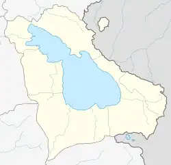 Mets Masrik | |
| Coordinates: 40°13′07″N 45°46′10″E / 40.21861°N 45.76944°E | |
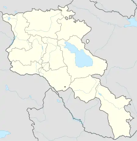
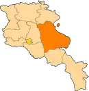
| Country | Armenia |
| Province | Gegharkunik |
| Municipality | Vardenis |
| Area | |
| • Total | 2.8 km2 (1.1 sq mi) |
| Population (2019) | |
| • Total | 2,699 |
| Time zone | UTC+4 (AMT) |
| Mets Masrik at GEOnet Names Server | |
Mets Masrik (Armenian: Մեծ Մասրիկ) is a village in the Vardenis Municipality of the Gegharkunik Province of Armenia. The village is located close to Pokr Masrik (lit. 'little Masrik').[1]
History
The town has been inhabited since the 7th century and has a khachkar dated 881, two shrines from the 12th and 13th centuries, and a 17th-century church.[1]
Demographics
The village had 3,132 inhabitants in 2011.[2]
Gallery
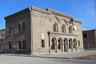 House of Culture
.jpg.webp) Church in Mets Masrik
Church in Mets Masrik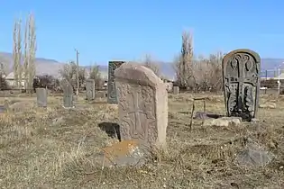 Khachkars in Mets Masrik
 WWII monument
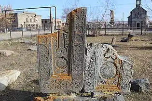 Khachkars in Mets Masrik
.jpg.webp) Church in Mets Masrik
Church in Mets Masrik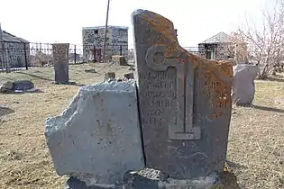 Khachkars in Mets Masrik
References
- 1 2 Kiesling, Brady; Kojian, Raffi (2005). Rediscovering Armenia: Guide (2nd ed.). Yerevan: Matit Graphic Design Studio. p. 82. ISBN 99941-0-121-8.
- ↑ Statistical Committee of Armenia. "The results of the 2011 Population Census of Armenia" (PDF).
External links
Wikimedia Commons has media related to Cultural heritage monuments in Mets Masrik, Gegharkunik.
- Report of the results of the 2001 Armenian Census, Statistical Committee of Armenia
- Kiesling, Brady (June 2000). Rediscovering Armenia: An Archaeological/Touristic Gazetteer and Map Set for the Historical Monuments of Armenia (PDF). Archived (PDF) from the original on 6 November 2021.
This article is issued from Wikipedia. The text is licensed under Creative Commons - Attribution - Sharealike. Additional terms may apply for the media files.