Monakato | |
|---|---|
 Monakato 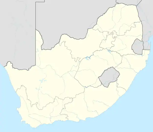 Monakato | |
| Coordinates: 25°21′11.81″S 27°15′27.73″E / 25.3532806°S 27.2577028°E | |
| Country | South Africa |
| Province | North West |
| District | Bojanala |
| Municipality | Rustenburg |
| Area | |
| • Total | 4.06 km2 (1.57 sq mi) |
| Population (2011)[1] | |
| • Total | 8,076 |
| • Density | 2,000/km2 (5,200/sq mi) |
| Racial makeup (2011) | |
| • Black African | 99.08% |
| • Indian/Asian | 0.30% |
| • Coloured | 0.24% |
| • White | 0.20% |
| • Other | 0.19% |
| First languages (2011) | |
| • Tswana | 87.69% |
| • Zulu | 2.74% |
| • Xhosa | 2.28% |
| • Tsonga language | 1.63% |
| • English | 1.55% |
| Time zone | UTC+2 (SAST) |
| Postal code (street) | 0325 |
| PO box | 0325 |
| Area code | 014 |
Monakato is a town in the North West province of South Africa.
References
- 1 2 3 4 "Main Place Monakato". Census 2011.
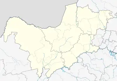
Municipalities and communities of Bojanala Platinum District Municipality, North West | ||
|---|---|---|
District seat: Rustenburg | ||
| Moretele | .svg.png.webp) Bojanala Platinum District within South Africa | |
| Madibeng | ||
| Rustenburg | ||
| Kgetlengrivier | ||
| Moses Kotane | ||
This article is issued from Wikipedia. The text is licensed under Creative Commons - Attribution - Sharealike. Additional terms may apply for the media files.