Montegaldella | |
|---|---|
| Comune di Montegaldella | |
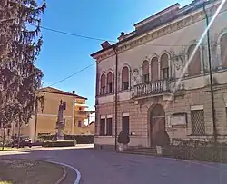 Town hall. | |
Location of Montegaldella | |
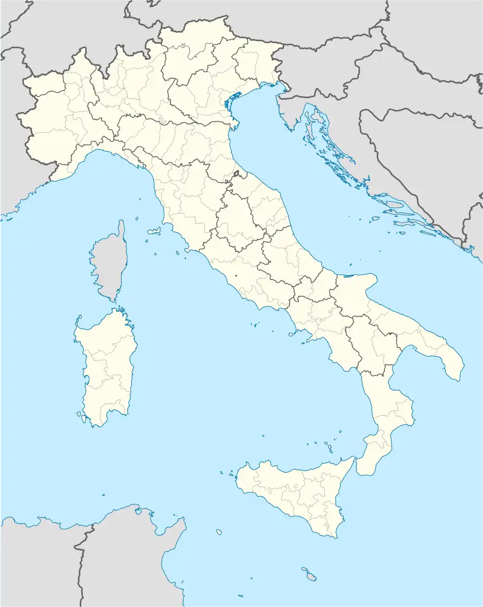 Montegaldella Location of Montegaldella in Italy 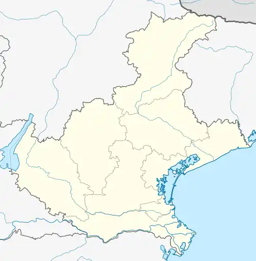 Montegaldella Montegaldella (Veneto) | |
| Coordinates: 45°26′N 11°40′E / 45.433°N 11.667°E | |
| Country | Italy |
| Region | Veneto |
| Province | Vicenza (VI) |
| Frazioni | Ghizzole |
| Government | |
| • Mayor | Paolo Dainese |
| Area | |
| • Total | 13 km2 (5 sq mi) |
| Elevation | 23 m (75 ft) |
| Population (30 November 2021)[2] | |
| • Total | 1,809 |
| • Density | 140/km2 (360/sq mi) |
| Demonym | Montegaldellesi |
| Time zone | UTC+1 (CET) |
| • Summer (DST) | UTC+2 (CEST) |
| Postal code | 36047 |
| Dialing code | 0444 |
| Website | Official website |
Montegaldella is a city in the province of Vicenza, Veneto, northern Italy. The highway SP16 runs through the town.
Main sights
The Villa Conti-Lampertico "La Deliziosa" (Delightful one) was built in the early 17th century; its garden features statues by Orazio Marinali. Like the nearby Montegalda, it is home to a castle.
San Michele Arcangelo is a 16th-century Roman Catholic church, restored in the early 2000s; the church's bells are still rung by hand by a team of citizens, who have also participated in bellringing contests.
References
- ↑ "Superficie di Comuni Province e Regioni italiane al 9 ottobre 2011". Italian National Institute of Statistics. Retrieved 16 March 2019.
- ↑ All demographics and other statistics from the Italian statistical institute (Istat)
This article is issued from Wikipedia. The text is licensed under Creative Commons - Attribution - Sharealike. Additional terms may apply for the media files.