Mountain View | |
|---|---|
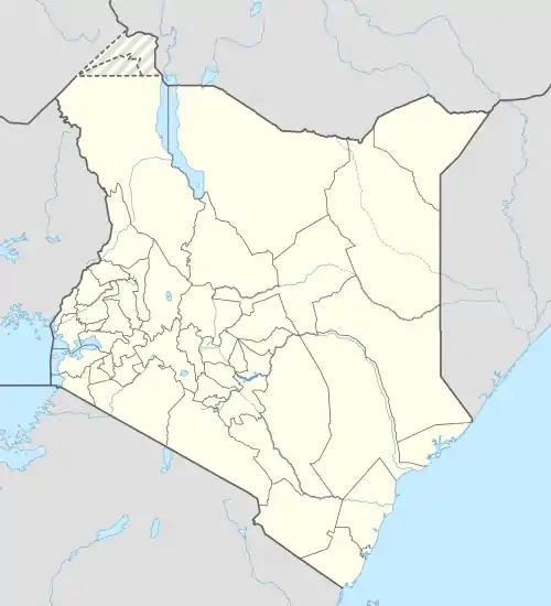
 Mountain View Location of Mountain View in Kenya | |
| Coordinates: 1°16′9″S 36°44′20″E / 1.26917°S 36.73889°E | |
| Country | Kenya |
| County | Nairobi City |
| Sub-county | Westlands |
| Area | |
| • Total | 2.1 km2 (0.8 sq mi) |
| Population (2019)[1] | |
| • Total | 22,294 |
| • Density | 10,752/km2 (27,850/sq mi) |
| Time zone | UTC+3 |
Mountain View is a neighbourhood in the city of Nairobi. It is approximately 9 kilometres (5.6 mi) west of the central business district of Nairobi.
Overview
Mountain View is located south of Waiyaki Way, 9 kilometres (5.6 mi) west of the Nairobi central business district, and borders the low-income neighbourhood of Kangemi. It is a middle-income to lower middle-income neighbourhood significantly characterised by single-family homes with a gated community.[2]
Mountain View, an electoral ward, borrows its name from the estate. It covers the Gichagi and Mountain View sub-locations of Nairobi.[3]
As per the 2019 census, Mountain View had a population of 22,294, with a population density of 10,752/km2 in a land area of 2.1km2.[1]
References
- 1 2 "2019 Kenya Population and Housing Census Volume II: Distribution of Population by Administrative Units". Kenya National Bureau of Statistics. p. 251. Retrieved 12 December 2022.
- ↑ "Nairobi Metropolitan Area Residential Report 2021". Cytonn. Retrieved 2 December 2022.
- ↑ "Westlands Constituency". Westlands. Retrieved 2 December 2022.
This article is issued from Wikipedia. The text is licensed under Creative Commons - Attribution - Sharealike. Additional terms may apply for the media files.
