Nagyigmánd | |
|---|---|
Large village | |
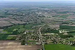 Aerial view | |
 Coat of arms | |
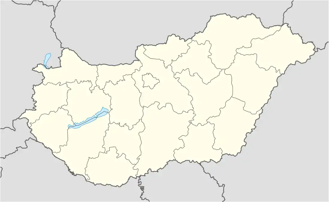 Nagyigmánd Location of Nagyigmánd | |
| Coordinates: 47°37′57″N 18°03′20″E / 47.63253°N 18.05569°E | |
| Country | |
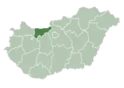
| County | Komárom-Esztergom |
| District | Komárom |
| Area | |
| • Total | 51.39 km2 (19.84 sq mi) |
| Population (2004) | |
| • Total | 3,166 |
| • Density | 61.6/km2 (160/sq mi) |
| Time zone | UTC+1 (CET) |
| • Summer (DST) | UTC+2 (CEST) |
| Postal code | 2942 |
| Area code | (+36) 34 |
| Website | http://nagyigmand.hu/ |
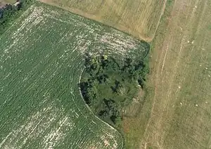
Nagyigmánd is a village in Komárom-Esztergom county, Hungary. It is the site of an ancient earthwork fort.
References
External links
![]() Media related to Nagyigmánd at Wikimedia Commons
Media related to Nagyigmánd at Wikimedia Commons
- Official website in Hungarian
- Street map (Hungarian)
| Towns (3) | ||
|---|---|---|
| Large village (1) | ||
| Villages (5) | ||
| City with county rights |
|   |
|---|---|---|
| Towns | ||
| Large villages | ||
| Villages |
| |
| Other topics |
| |
This article is issued from Wikipedia. The text is licensed under Creative Commons - Attribution - Sharealike. Additional terms may apply for the media files.