Ommerenveld | |
|---|---|
Hamlet | |
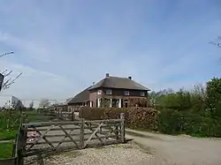 Farm in Ommerenveld | |
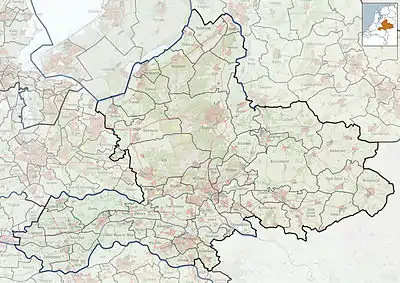 Ommerenveld Location in the Netherlands 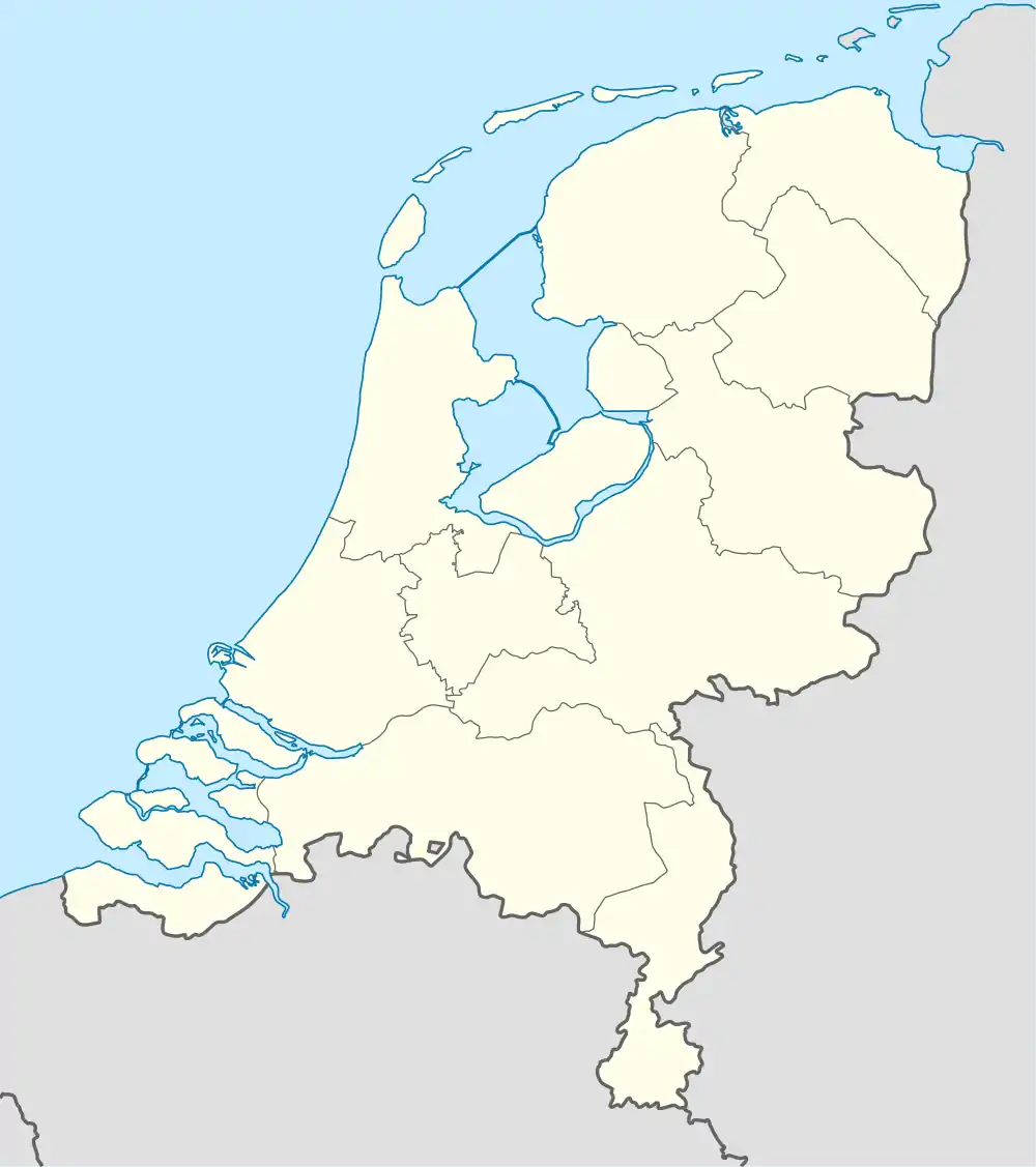 Ommerenveld Ommerenveld (Netherlands) | |
| Coordinates: 51°56′05″N 5°29′03″E / 51.93472°N 5.48417°E | |
| Country | Netherlands |
| Province | Gelderland |
| Municipality | Buren |
| Area | |
| • Total | 9.87 km2 (3.81 sq mi) |
| Elevation | 7 m (23 ft) |
| Population (2021)[1] | |
| • Total | 445 |
| • Density | 45/km2 (120/sq mi) |
| Time zone | UTC+1 (CET) |
| • Summer (DST) | UTC+2 (CEST) |
| Postal code | 4031 & 4032[1] |
| Dialing code | 0344 |
Ommerenveld is a hamlet in the Dutch province of Gelderland. It is a part of the municipality of Buren, and lies about 6 km northeast of Tiel.
The postal authorities have placed it under Ommeren.[3] Ommerenveld still has a school.[4]
References
- 1 2 3 "Kerncijfers wijken en buurten 2021". Central Bureau of Statistics. Retrieved 21 March 2022.
together with Meerten polder and Zwarte Paard
- ↑ "Postcodetool for 4031JA". Actueel Hoogtebestand Nederland (in Dutch). Het Waterschapshuis. Retrieved 21 March 2022.
- ↑ "Postcode Ommerenveldseweg in Ommeren". Postcode bij adres (in Dutch). Retrieved 21 March 2022.
- ↑ "Ommerenveld". Plaatsengids (in Dutch). Retrieved 21 March 2022.
Wikimedia Commons has media related to Ommerenveld.
This article is issued from Wikipedia. The text is licensed under Creative Commons - Attribution - Sharealike. Additional terms may apply for the media files.