Onathinge | |
|---|---|
Village | |
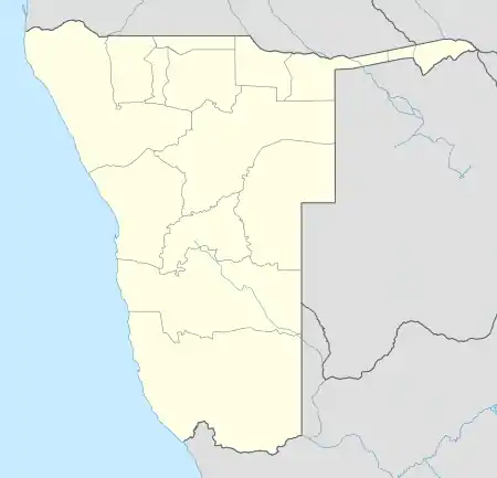 Onathinge Location in Namibia | |
| Coordinates: 18°00′22″S 16°15′52″E / 18.00611°S 16.26444°E | |
| Country | |
| Region | Oshikoto Region |
| Government | |
| • Type | Local Traditional Authority |
| Elevation | 3,560 ft (1,085 m) |
| Time zone | UTC+1 (South African Standard Time) |
| Climate | BSh |
Onathinge is a settlement in northern Namibia, Onayena Constituency situated in Oshikoto Region in the Ondonga area, the village has schools including Onathinge Primary and Secondary Schools.[1] The economy is based on substance farming. It is one of the biggest villages in Onayena with infrastructures such as a clinic, and a tarred road, it is also electrified.
References
- ↑ "Active at Oniiwe". The Namibian. Retrieved 30 December 2021.
This article is issued from Wikipedia. The text is licensed under Creative Commons - Attribution - Sharealike. Additional terms may apply for the media files.