Palauk
ပလောက် | |
|---|---|
Town | |
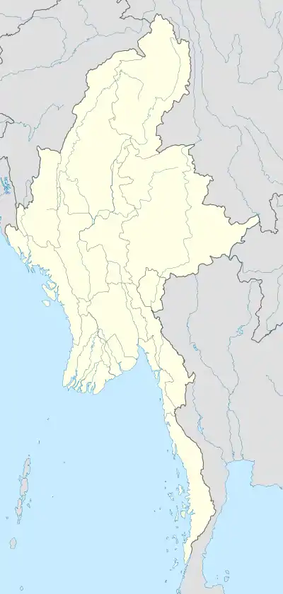 Palauk Location in Burma | |
| Coordinates: 13°15′44″N 98°37′53″E / 13.26222°N 98.63139°E | |
| Country | |
| Region | |
| District | Myeik |
| Township | Palaw |
| Time zone | UTC+6.30 (MST) |
Palauk[1] is a town in the Myeik District, Taninthayi Region, in Myanmar. It is located on the main coastal road, Route 8, between Tavoy and Palaw.[2] Palauk is the administrative seat of the Palauk Subtownship.[3]
Administrative subdivisions
The administrative divisions of the Palauk Subtownship[4] are the following:
- Kyauklonegyi
- Pyichar
- Sinhtoegyi
- Nanthilar
- Pyinbugyi
Notes
- ↑ Palauk at GEOnet Names Server, United States National Geospatial-Intelligence Agency
- ↑ "General Logistics and Planning Map Myanmar" UNJLC Map Num:UNJLC-MM08a-002-A1, Myanmar Information Management Unit (MIMU), 8 May 2008
- ↑ "Palaw Township, Tanintharyi, Myanmar" Archived 2011-07-22 at the Wayback Machine, Myanmar Information Management Unit (MIMU), 12 August 2010
- ↑ "Palaw Township, Tanintharyi, Myanmar" Archived 2011-07-22 at the Wayback Machine, Myanmar Information Management Unit (MIMU), 12 August 2010
External links
- "Palauk Map — Satellite Images of Lanywa" Maplandia World Gazetteer
Capital: Dawei | ||
| Dawei District |  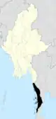 | |
| Kawthaung District |
| |
| Myeik District | ||
| Main cities and towns | ||
This article is issued from Wikipedia. The text is licensed under Creative Commons - Attribution - Sharealike. Additional terms may apply for the media files.