| Palinkopf | |
|---|---|
| Paliner Kopf | |
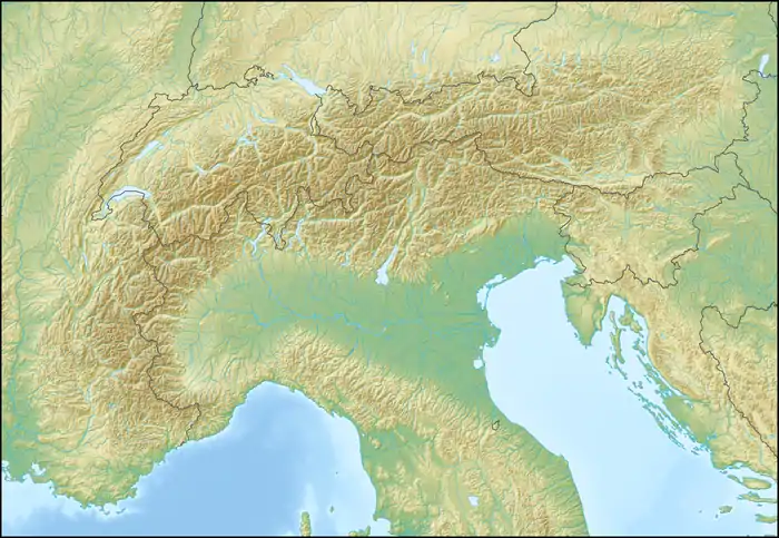 Palinkopf Location in the Alps | |
| Highest point | |
| Elevation | 2,864 m (9,396 ft) |
| Prominence | 171 m (561 ft)[1] |
| Parent peak | Vesulspitze |
| Coordinates | 46°57′00″N 10°18′34″E / 46.95000°N 10.30944°E |
| Geography | |
| Location | Graubünden, Switzerland Tyrol, Austria |
| Parent range | Samnaun Alps |
The Palinkopf (also spelled Paliner Kopf) (2,864 m) is a mountain of the Samnaun Alps, located on the border between Switzerland and Austria. It lies west of Samnaun and is part of the Samnaun-Ischgl ski area.
References
External links
This article is issued from Wikipedia. The text is licensed under Creative Commons - Attribution - Sharealike. Additional terms may apply for the media files.