Passirano
Pasirà | |
|---|---|
| Comune di Passirano | |
 Coat of arms | |
Location of Passirano | |
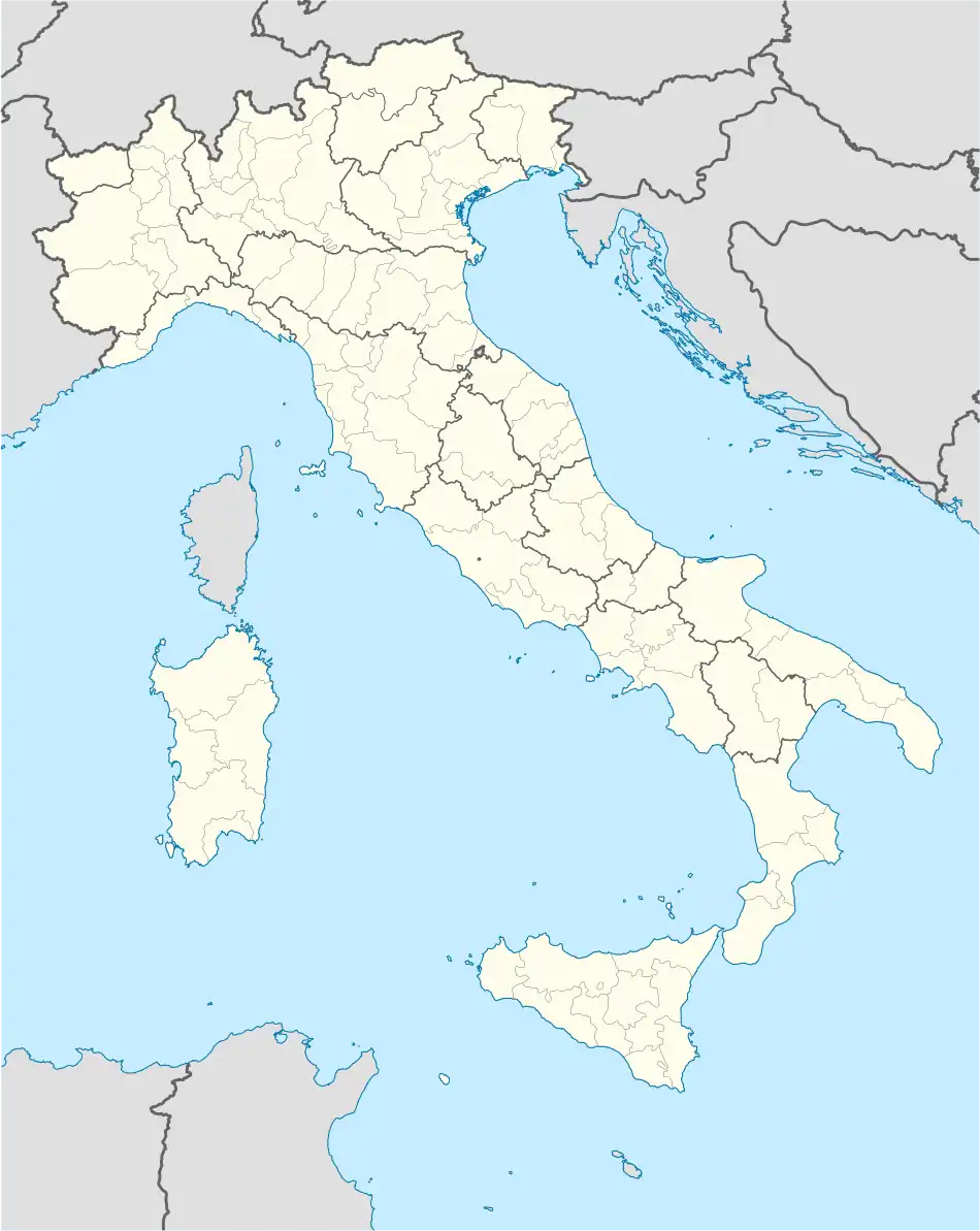 Passirano Location of Passirano in Italy 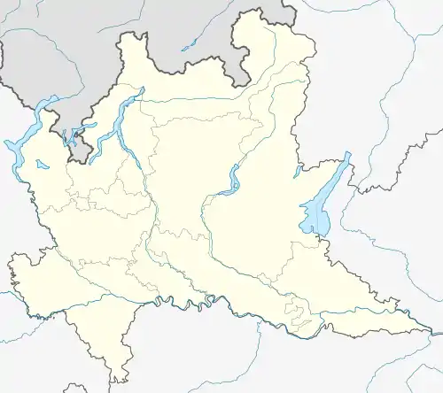 Passirano Passirano (Lombardy) | |
| Coordinates: 45°36′N 10°4′E / 45.600°N 10.067°E | |
| Country | Italy |
| Region | Lombardy |
| Province | Brescia (BS) |
| Frazioni | Camignone, Monterotondo, Valenzano |
| Area | |
| • Total | 13 km2 (5 sq mi) |
| Elevation | 250 m (820 ft) |
| Population (31 December 2011)[2] | |
| • Total | 7,196 |
| • Density | 550/km2 (1,400/sq mi) |
| Time zone | UTC+1 (CET) |
| • Summer (DST) | UTC+2 (CEST) |
| Postal code | 25050 |
| Dialing code | 030 |
| ISTAT code | 017136 |
| Patron saint | San Zenone |
| Saint day | Second Sunday of October |
| Website | Official website |
Passirano (Brescian: Pasirà) is a comune in the province of Brescia, in Lombardy, Italy. Passirano is located 15 km northwest of Brescia, in the historical region of Franciacorta.
References
- ↑ "Superficie di Comuni Province e Regioni italiane al 9 ottobre 2011". Italian National Institute of Statistics. Retrieved 16 March 2019.
- ↑ ISTAT
This article is issued from Wikipedia. The text is licensed under Creative Commons - Attribution - Sharealike. Additional terms may apply for the media files.