| Perriertoppen | |
|---|---|
 Perriertoppen Svalbard | |
| Highest point | |
| Elevation | 1,712 m (5,617 ft)[1] |
| Prominence | 562 m (1,844 ft)[1] |
| Coordinates | 79°9′13″N 16°46′47″E / 79.15361°N 16.77972°E[1] |
| Naming | |
| English translation | Perrier Peak |
| Language of name | English |
| Geography | |
| Location | Spitsbergen, Svalbard |
| Geology | |
| Age of rock | Late Silurian |
| Mountain type | Granite |
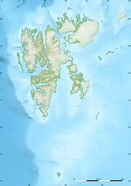
Perriertoppen is the second highest mountain in Svalbard, at 1712 m.[2] It is located in the north east of the island of Spitsbergen. The mountain is late Silurian granite.
References
- 1 2 3 "Perriertoppen, Svalbard". Peakbagger.com. Retrieved 5 June 2014.
- ↑ "Svalbard Statistics 2005" (PDF). ssb.no. Statistics Norway. August 2005. Retrieved 5 August 2008.
This article is issued from Wikipedia. The text is licensed under Creative Commons - Attribution - Sharealike. Additional terms may apply for the media files.