Pfatter | |
|---|---|
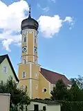
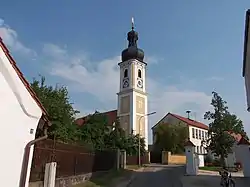 Church of the Nativity of the Virgin Mary in Geisling | |
 Coat of arms | |
Location of Pfatter within Regensburg district 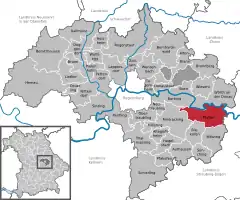 | |
 Pfatter 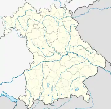 Pfatter | |
| Coordinates: 48°57′54″N 12°22′52″E / 48.96500°N 12.38111°E | |
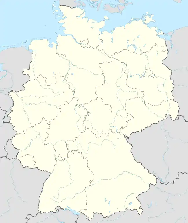
| Country | Germany |
| State | Bavaria |
| Admin. region | Oberpfalz |
| District | Regensburg |
| Subdivisions | 5 Ortsteile |
| Government | |
| • Mayor (2020–26) | Johann Biederer[1] |
| Area | |
| • Total | 48.14 km2 (18.59 sq mi) |
| Elevation | 326 m (1,070 ft) |
| Population (2022-12-31)[2] | |
| • Total | 3,247 |
| • Density | 67/km2 (170/sq mi) |
| Time zone | UTC+01:00 (CET) |
| • Summer (DST) | UTC+02:00 (CEST) |
| Postal codes | 93102 |
| Dialling codes | 09481 |
| Vehicle registration | R |
| Website | www.pfatter.de |
Pfatter is a municipality in the district of Regensburg in Bavaria, Germany. It lies on the river Danube. The Danube village used to be a central place in the Gäuboden and had a central function in its region.
The Parish Church of the Assumption of the Virgin Mary
Municipality structure
- Pfatter (1769 inhabitants)
- Geisling (876 inhabitants)
- Griesau (214 inhabitants)
- Gmünd (156 inhabitants)
- Leiterkofen (60 inhabitants)
References
- ↑ Liste der ersten Bürgermeister/Oberbürgermeister in kreisangehörigen Gemeinden, Bayerisches Landesamt für Statistik, 15 July 2021.
- ↑ Genesis Online-Datenbank des Bayerischen Landesamtes für Statistik Tabelle 12411-003r Fortschreibung des Bevölkerungsstandes: Gemeinden, Stichtag (Einwohnerzahlen auf Grundlage des Zensus 2011)
This article is issued from Wikipedia. The text is licensed under Creative Commons - Attribution - Sharealike. Additional terms may apply for the media files.