Porcari | |
|---|---|
| Comune di Porcari | |
 | |
 Coat of arms | |
Location of Porcari | |
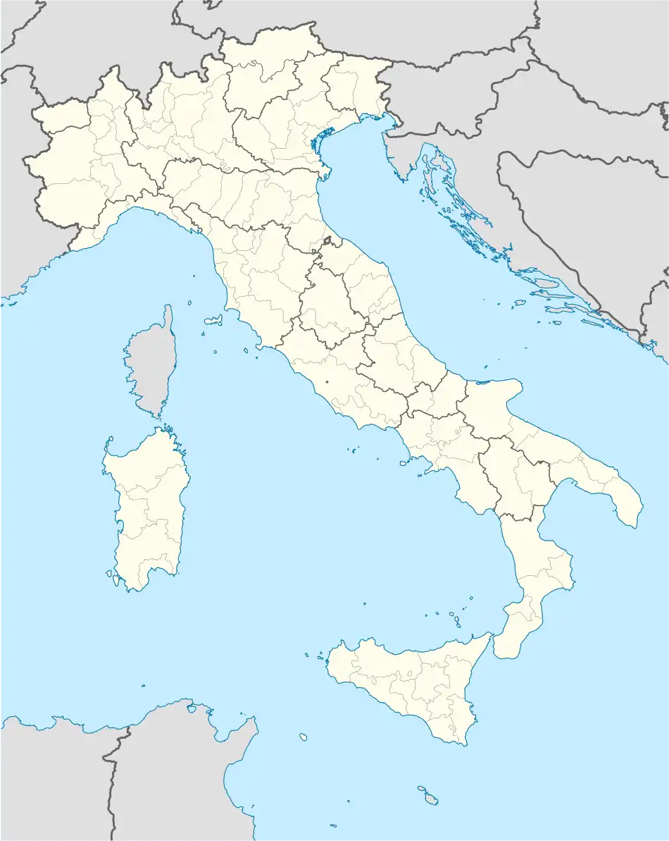 Porcari Location of Porcari in Italy 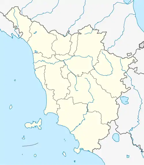 Porcari Porcari (Tuscany) | |
| Coordinates: 43°50′N 10°37′E / 43.833°N 10.617°E | |
| Country | Italy |
| Region | Tuscany |
| Province | Lucca (LU) |
| Frazioni | Rughi, Padule, La Fratina |
| Government | |
| • Mayor | Alberto Baccini |
| Area | |
| • Total | 17.9 km2 (6.9 sq mi) |
| Elevation | 32 m (105 ft) |
| Population (1 June 2011)[2] | |
| • Total | 8,753 |
| • Density | 490/km2 (1,300/sq mi) |
| Demonym | Porcaresi |
| Time zone | UTC+1 (CET) |
| • Summer (DST) | UTC+2 (CEST) |
| Postal code | 55016 |
| Dialing code | 0583 |
| Patron saint | St. Justus |
| Saint day | Monday after Pentecost |
| Website | Official website |
Porcari is a comune (municipality) in the Province of Lucca in the Italian region Tuscany, located about 50 kilometres (31 mi) west of Florence and about 8 kilometres (5 mi) east of Lucca.
In the Middle Ages it was a stage on the Via Francigena. It houses the church of St. Justus, dating to the 16th century but later mostly remade in neo-medieval style.
References
- ↑ "Superficie di Comuni Province e Regioni italiane al 9 ottobre 2011". Italian National Institute of Statistics. Retrieved 16 March 2019.
- ↑ All demographics and other statistics: Italian statistical institute Istat.
External links
![]() Media related to Porcari at Wikimedia Commons
Media related to Porcari at Wikimedia Commons
This article is issued from Wikipedia. The text is licensed under Creative Commons - Attribution - Sharealike. Additional terms may apply for the media files.