Presidente Alves | |
|---|---|
 Flag  Coat of arms | |
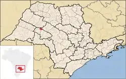 Location in São Paulo state | |
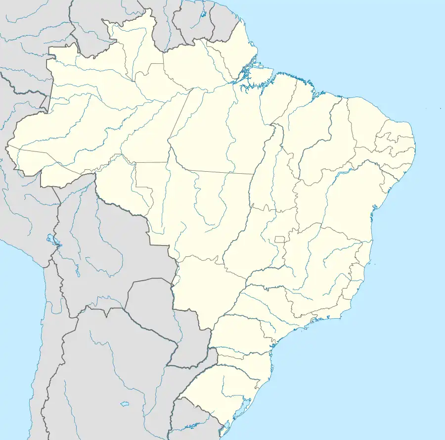 Presidente Alves Location in Brazil | |
| Coordinates: 22°6′0″S 49°26′17″W / 22.10000°S 49.43806°W | |
| Country | Brazil |
| Region | Southeast |
| State | São Paulo |
| Area | |
| • Total | 287 km2 (111 sq mi) |
| Population (2020 [1]) | |
| • Total | 4,080 |
| • Density | 14/km2 (37/sq mi) |
| Time zone | UTC−3 (BRT) |
Presidente Alves is a municipality in the state of São Paulo in Brazil. The population is 4,080 (2020 est.) in an area of 287 km2.[2] The elevation is 576 m.
References
This article is issued from Wikipedia. The text is licensed under Creative Commons - Attribution - Sharealike. Additional terms may apply for the media files.