| Profile Lake | |
|---|---|
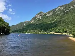 | |
 Profile Lake  Profile Lake | |
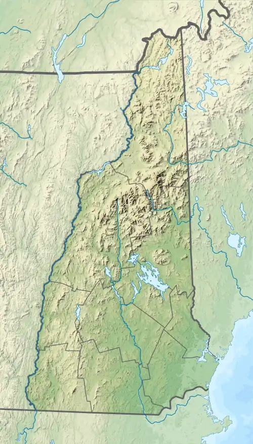
| Location | Franconia Notch State Park, Franconia, Grafton County, New Hampshire |
| Coordinates | 44°9′49″N 71°40′41″W / 44.16361°N 71.67806°W |
| Primary outflows | Pemigewasset River |
| Basin countries | United States |
| Max. length | 0.3 mi (0.48 km) |
| Max. width | 0.1 mi (0.16 km) |
| Surface area | 13 acres (53,000 m2) |
| Average depth | 6 ft (1.8 m) |
| Max. depth | 15 ft (4.6 m) |
| Surface elevation | 1,930 ft (590 m) |
Profile Lake is a 13-acre (53,000 m2) water body located in Franconia Notch in the White Mountains of New Hampshire, at the foot of Cannon Mountain.[1] The lake was given its name due to its location directly beneath the Old Man of the Mountain, a famous rock formation which collapsed in 2003. The lake is near the height of land in Franconia Notch; the lake's outlet is the Pemigewasset River, which flows south to the Merrimack River and ultimately the Gulf of Maine (Atlantic Ocean) at Newburyport, Massachusetts.
The lake is classified as a coldwater fishery, with observed species including brook trout. Only fly fishing is allowed at Profile Lake.[2]
See also
- List of lakes in New Hampshire
- Profile House, grand hotel that was in the area until it burned and the property was made into the Franconia Notch State Park
- Echo Lake (New Hampshire)
References
- ↑ New Hampshire GRANIT database Archived 2013-08-03 at the Wayback Machine
- ↑ "Profile Lake, Franconia" (PDF). NH Fish & Game. Retrieved September 4, 2014.
.jpg.webp)
Profile Lake, Evening
by Sylvester Phelps Hodgdon
by Sylvester Phelps Hodgdon
This article is issued from Wikipedia. The text is licensed under Creative Commons - Attribution - Sharealike. Additional terms may apply for the media files.