| Rauheck | |
|---|---|
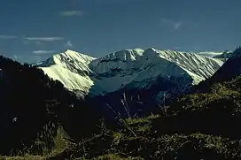 | |
| Highest point | |
| Elevation | 2,384 m (7,822 ft) |
| Prominence | 183 m (600 ft) |
| Isolation | 2.9 km (1.8 mi) |
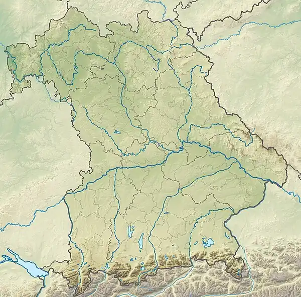
| Coordinates | 47°20′44″N 10°22′20″E / 47.34556°N 10.37222°E |
| Geography | |
| Parent range | Allgäu Alps |
Climbing routes
Four paths lead to the summit:
- via the Oytal over the Älplesattel,[1]
- via the Dietersbachtal, also over the Älplesattel,
- via the Eissee above the Käseralp
and
References
- ↑ "Von Oberstdorf zum Eissee". bergsteiger.de (in German). Retrieved 2018-10-21.
- ↑ Seibert, Dieter (1997). Allgäuer Alpen: ein Führer für Täler, Hütten und Berge (in German). Bergverlag Rother GmbH. ISBN 9783763311262.
This article is issued from Wikipedia. The text is licensed under Creative Commons - Attribution - Sharealike. Additional terms may apply for the media files.