Ravels | |
|---|---|
 | |
 Flag  Coat of arms | |
Location of Ravels | |
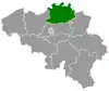
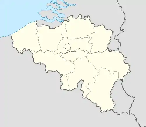 Ravels Location in Belgium
Location of Ravels in the province of Antwerp 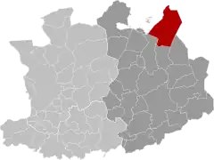 | |
| Coordinates: 51°22′N 05°00′E / 51.367°N 5.000°E | |
| Country | |
| Community | Flemish Community |
| Region | Flemish Region |
| Province | Antwerp |
| Arrondissement | Turnhout |
| Government | |
| • Mayor | Walter Luyten (CD&V) |
| • Governing party/ies | CD&V |
| Area | |
| • Total | 95.13 km2 (36.73 sq mi) |
| Population (2018-01-01)[1] | |
| • Total | 14,871 |
| • Density | 160/km2 (400/sq mi) |
| Postal codes | 2380-2382 |
| NIS code | 13035 |
| Area codes | 014 |
| Website | www.ravels.be |
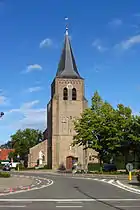
Ravels (Dutch pronunciation: [ˈraːvəls]) is a municipality located in the Belgian province of Antwerp. The municipality comprises the towns of Poppel, Ravels proper and Weelde. In 2021, Ravels had a total population of 15,105.[2] The total area is 94.99 km². A large proportion of its inhabitants are immigrants from The Netherlands. The local economy is mainly agrarian. Ravels is a center of livestock farming in Belgium (especially cows, pigs, poultry), since the local climate is ideal for the animals.[3]
The town hall and the municipal services are located in Weelde.
References
- ↑ "Wettelijke Bevolking per gemeente op 1 januari 2018". Statbel. Retrieved 9 March 2019.
- ↑ "Bevolking per statistische sector - Sector 13035". Statistics Belgium. Retrieved 10 May 2022.
- ↑ "BIN KAART: Verband tussen intensieve veeteelt en watervervuiling in Vlaanderen". Greenpeace Belgium. Retrieved 14 October 2023.
External links
 Media related to Ravels at Wikimedia Commons
- Official website (Dutch)
Places adjacent to Ravels | ||||||||||||||||
|---|---|---|---|---|---|---|---|---|---|---|---|---|---|---|---|---|
| ||||||||||||||||
This article is issued from Wikipedia. The text is licensed under Creative Commons - Attribution - Sharealike. Additional terms may apply for the media files.