Rezi | |
|---|---|
Village | |
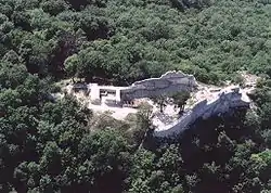 Rezi's castle ruins | |
 Flag  Coat of arms | |
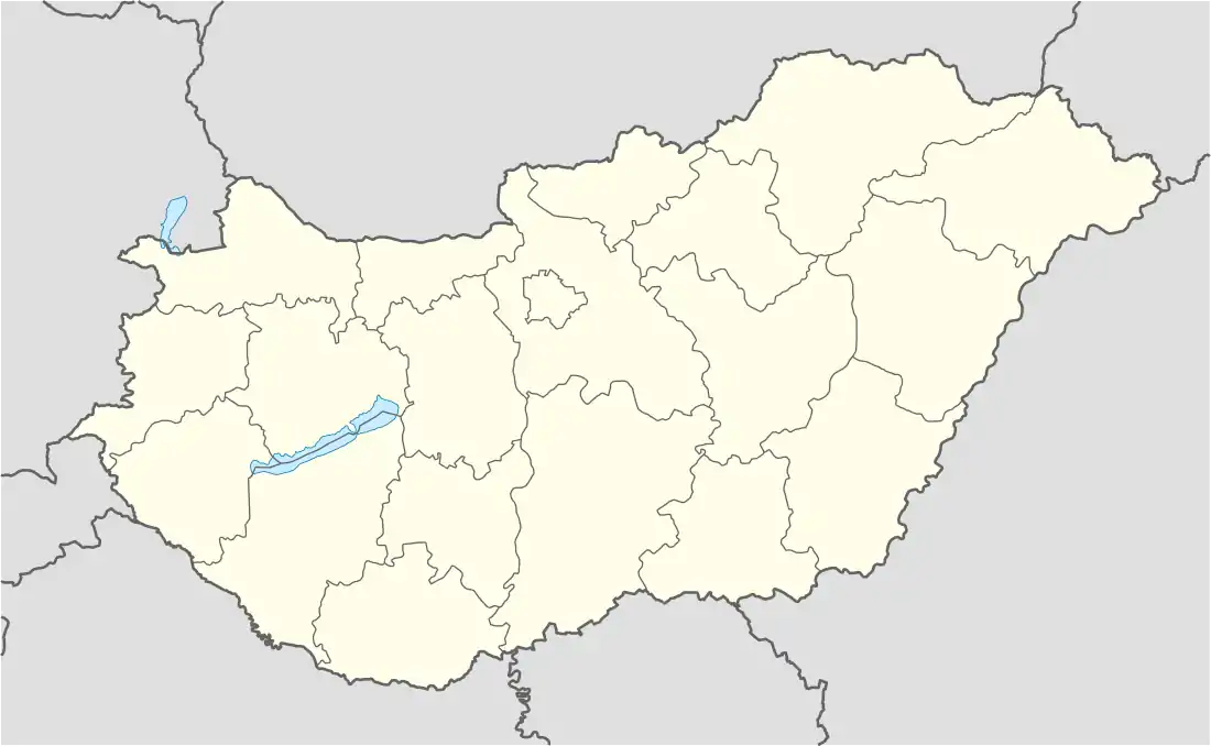 Rezi Location of Rezi | |
| Coordinates: 46°50′30″N 17°13′10″E / 46.84177°N 17.21949°E | |
| Country | Hungary |
| Region | Western Transdanubia |
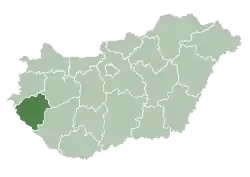
| County | Zala |
| District | Keszthely |
| Area | |
| • Total | 29.78 km2 (11.50 sq mi) |
| Population (1 January 2023)[1] | |
| • Total | 1,358 |
| • Density | 46/km2 (120/sq mi) |
| Time zone | UTC+1 (CET) |
| • Summer (DST) | UTC+2 (CEST) |
| Postal code | 8373 |
| Area code | (+36) 83 |
| Website | www |
Rezi is a village in Zala County, Hungary. Nearby are the ruins of a 13th-14th century hilltop castle, which looks down off a 418-meter hill.[2]
External links
- Street map (in Hungarian)
References
- ↑ Error: Unable to display the reference properly. See the documentation for details.
- ↑ "Castle ruins (várrom), Rezi". Well-PRess. Archived from the original on 2011-07-22. Retrieved 2009-03-23.
.svg.png.webp)
This article is issued from Wikipedia. The text is licensed under Creative Commons - Attribution - Sharealike. Additional terms may apply for the media files.